Сб с 10 до 16
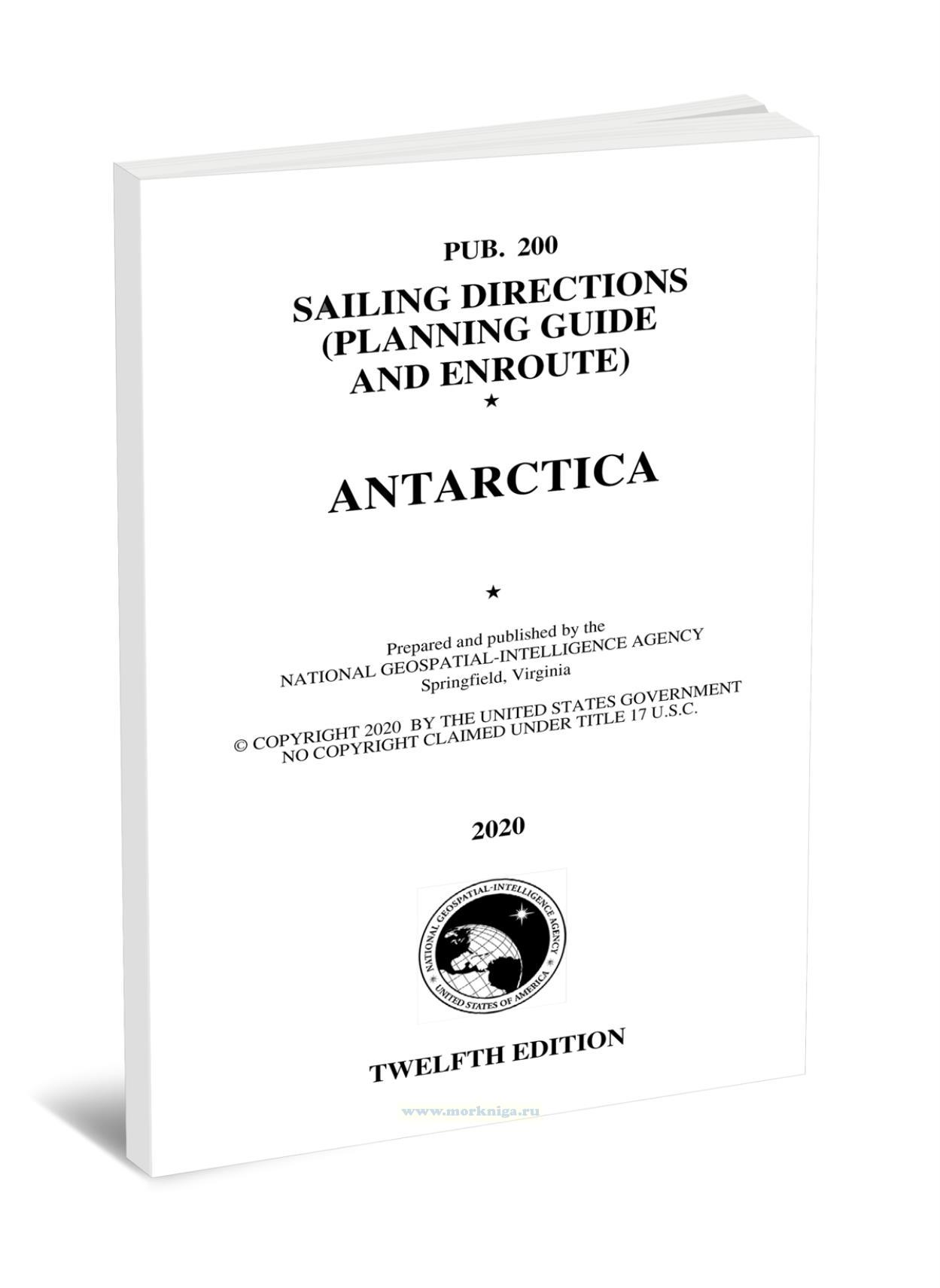
Pub. 200 Sailing Directions. (Planning Guide and Enroute). Antarctica (2020)/Лоция (руководство по планированию и маршрут). Антарктида (2020)
Книга на английском языке
Pub. 200, Sailing Directions (Planning Guide and Enroute) Antarctica, Twelfth Edition, 2020 is issued as Part I and Part II, with both Planning Guide and Enroute information combined in one volume. Digital Nautical Chart 29 provides electronic chart coverage for the area covered by this publication.
Contents
Page
Preface
Abbreviations
Part I (Planning Guide)
Appendix I-South African Ship Reporting System (SAFREP)
Appendix II-Chile Ship Reporting System (CHILREP)
Appendix III-Modernized Australian Ship Tracking and Reporting System (MASTREP)
Appendix IV-Alert and Escape Strategy in the Event of Volcanic Eruption on Deception Island
Background
Part II (Enroute)
Part II- Enroute
Sector 1-The Weddell Sea-Cape Norvegia to Joinville Island
Sector 2-The South Orkney Islands and the South Shetland Islands
Sector 3-The Bellingshausen Sea and the Amundsen Sea-Joinville Island to Cape Colbeck
Sector 4-Antarctica-Cape Colbeck to Cape Norvegia
Index-Gazetteer
