Сб с 10 до 16
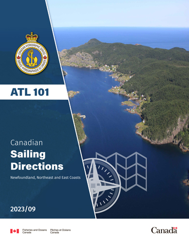
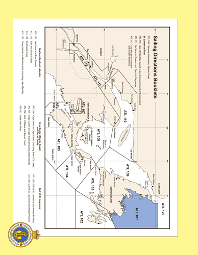
ATL 101 Canadian Sailing Directions. Newfoundland, Northeast and East Coasts/Канадские лоции. Ньюфаундленд, северо-восточное и восточное побережья
Книга на английском языке
This Second Edition of Sailing Directions, ATL 101 - Newfoundland, Northeast and East Coasts, 2013, has been compiled from Canadian Government and other information sources.
All hydrographic terms used in this booklet are in accordance with the meanings given in the Hydrographic Dictionary (Special Publication No. 32), published by the International Hydrographic Bureau.
Contents
Preface
Explanatory notes
Abbreviations
Chapter 1
Cape Bauld to Canada Bay
Cape Bauld to Hare Bay
Hare Bay to Canada Bay
Canada Bay to White Bay
Chapter 2
Canada Bay to Cape St. John
Canada Bay to White Bay
White Bay
White Bay to Cape St. John
Chapter 3
Cape St. John to Bay of Exploits
Cape St. John to Green Bay
Green Bay to Halls Bay
Halls Bay to New Bay
New Bay to Bay of Exploits
Chapter 4
Bay of Exploits to Twillingate Islands Bay of Exploits
Western Head to Twillingate Islands
Chapter 5
Twillingate Islands to Cape Freels
Northeast side of New World Island
West side of Hamilton Sound
Change Island
Fogo Island
East side of Hamilton Sound
Eastern Approach to Hamilton Sound
Funk Island
Muddy Point to Cape Freels
Chapter 6
Cape Freels to Cape Bonavista
Northwest side of Bonavista Bay
Offlying Islands and Shoals
West side of Bonavista Bay
South side of Bonavista Bay
East side of Bonavista Bay
Appendices
Sail Plan
Weather Tables
Table of Marine Repair Facilities
Table of distances
Table of Wharf Load Limits and Gross Vehicle Weights
Customs Information for Pleasure Craft
Diagrams
Hare Bay Islands Ecological Reserve
Pacquet Harbour
Snooks Arm
Wolf Cove
Triton Marine Service Centre
Black Island Tickle
Summerford
Musgrave Harbour
Funk Island Ecological Reserve
Lumsden South
Happy Adventure
Charlottetown Public Wharf
Index


