Сб с 10 до 16
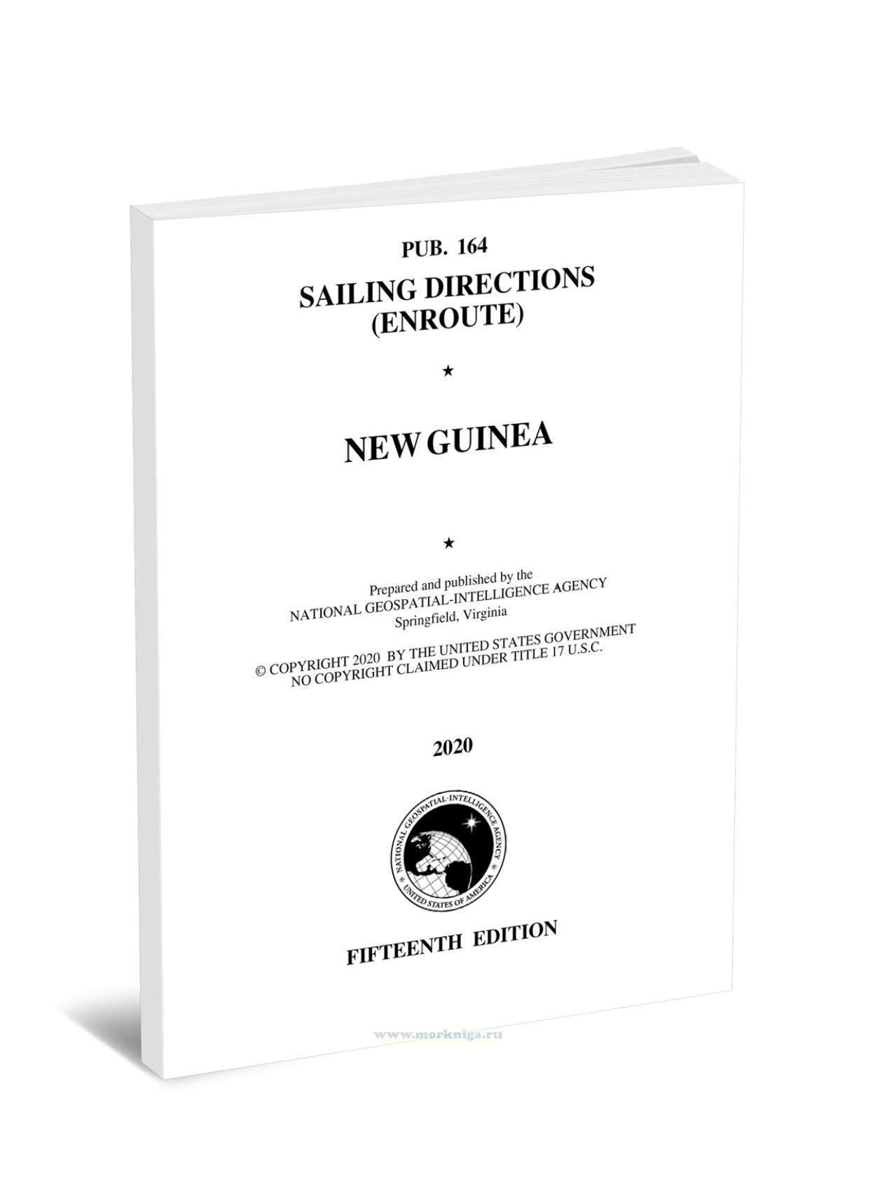
Pub. 164 Sailing Directions (Enroute). New Guinea (2020)/Лоция (маршрут). Новая Гвинея (2020)
Книга на английском языке
Pub164 - Sailing Directions (Enroute) - New Guinea (2020) is a comprehensive nautical guide covering the rugged and remote coastlines of the island of New Guinea. This publication provides essential information for sailors and mariners navigating the complex waterways, treacherous reefs, and diverse island groups that characterize this dynamic maritime region. Detailed charts, port descriptions, tidal data, and insights on weather patterns equip readers with the knowledge needed to plan and execute safe and successful voyages. From the imposing mountain ranges of the mainland to the isolated atolls of the surrounding archipelagos, Pub164 is an indispensable resource for anyone exploring the captivating and challenging cruising grounds of New Guinea.
Contents
Preface
Conversion Tables
Abbreviations
Sector 1-Islands between Mindanao and Sulawesi (Celebes)
Sector 2-The Northern Moluccas-Halmahera, Kepulauan Obi, and Kepulauan Sula
Sector 3-The Southern Moluccas-Buru, Seram, and Kepulauan Banda
Sector 4-The Banda Sea and Off-lying Islands
Sector 5-South Coast of Irian Jaya and Off-lying Islands
Sector 6-South Coast of Papua New Guinea-The Bensbach River to South Cape
Sector 7-Eastern Papua New Guinea-South Cape to East Cape
Sector 8-The Louisiade Archipelago
Sector 9-Islands North and Northeast of East Cape-North Coast of Papua New Guinea-East Cape to East Boundary of Irian Jaya
Sector 10-North Coast of Irian Jaya-East Boundary of Irian Jaya to Tanjung Yamursba
Glossaries
Index-Gazetteer
