Сб с 10 до 16
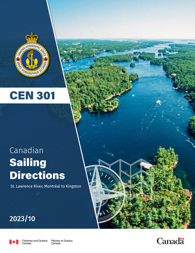
Canadian Sailing Directions CEN 301 St. Lawrence River, Montr?al to Kingston/Канадские парусные направлени Река Святого Лаврентия, Монреаль - Кингстон
Книга на английском языке
This Edition of Sailing Directions, CEN 301 — St. Lawrence River, Montr?al to Kingston, 2023,
has been compiled from Canadian Government and other information sources. In general, all hydrographic terms used in this booklet are in accordance with the meanings given in the Hydrographic Dictionary (Special Publication No. 32), published by the International Hydrographic Organization.
This edition introduces a new layout of the geographical areas.
General information for the Great Lakes is grouped in one booklet: Sailing Directions, CEN 300 — General Information, Great Lakes. It contains navigational information and a brief description of the main port facilities as well as geographic, oceanographic and atmospheric characteristics. Booklet CEN 300 also includes a geographical index for the Great Lakes area.
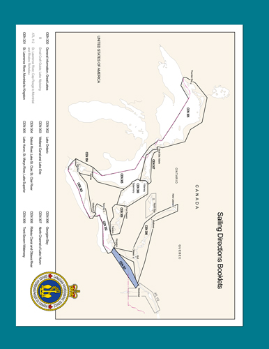
The geographical areas are described in a series of booklets; their limits are shown on the back cover of each booklet. For more information, consult the Catalogue of Nautical Charts and Publications 3,
Ontario / Manitoba, Including the Great Lakes.
Tidal, water level and current information has been revised by the Tides, Currents and Water Level
Section of the Canadian Hydrographic Service.
The photographs, except where credits are given, are by the Canadian Hydrographic Service or the
Canadian Coast Guard, Fisheries and Oceans Canada.
Contents
Preface
Explanatory notes
Abbreviations
Chapter 1 Montreal to Beauharnois
General
Montreal to Canal de la Rive Sud
Canal de la Rive Sud
Saint-Lambert Lock to Cote Sainte-Catherine Lo'
Cote Sainte-Catherine Lock to Lac Saint-Louis
Lac Saint-Louis, Seaway Channel
Small Craft Routes
Canal de Lachine
North shore of Lac Saint-Louis
To Ottawa River, north of Ile Perrot
To Ottawa River, west of Ile Perrot
South shore of Lac Saint-Louis
Chapter 2 Beauharnois to Cornwall
General
Canal de Beauharnois
Lake St. Francis — Eastern part
Seaway Channel
North shore of Lake St. Francis, eastern part
South shore of Lake St. Francis, eastern part
Lake St. Francis — Western part
Seaway Channel
North shore of Lake St. Francis, western part
South shore of Lake St. Francis, western part
Approaches to Cornwall
Colquhoun Islands to Raquette Point
Chapter 3 Cornwall to Brockville
General
Cornwall to Iroquois Lock
Lake St. Lawrence
Iroquois Lock to Prescott
Prescott to Brockville
Chapter 4 Seaway Channel — Brockville to Lake Ontario General
Brockville Narrows
Brockville Narrows to Bartlett Point
Small-craft channel
Whaleback Shoal to Lone Brother Island
Lone Brother Island to Bartlett Point
Bartlett Point to Tibbetts Point
Channel SE of Wolfe Island
Chapter 5 Canadian Middle Channel and adjacent waters General
Canadian Middle Channel
Small-craft route
Canadian Middle Channel, continued
Small-Craft routes
Gananoque Narrows to Bateau Channel
Bateau Channel
Channel north of Wolfe Island
Chapter 6 Kingston Harbour and approaches
General
Channel north of Wolfe Island — Dawson Point to Everett Point
Eastern Approach to Kingston
NW shore of Wolfe Island
Western Approach to Kingston
Kingston
Kingston outer harbour
Kingston Harbour
LaSalle Causeway
Inner Harbour
appendices Sail Plan
Index


