звоните нам Пн-Пт с 9 до 19,
Сб с 10 до 16
Сб с 10 до 16
Книга на англйском языке
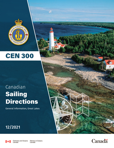
The First Edition of Sailing Directions, CEN 300 — General Information, Great Lakes, 1996,
has been compiled from Canadian Government and other information sources. In general, all hydrographic terms used in this booklet are in accordance with the meanings given in the Hydrographic Dictionary (Special Publication No. 32), published by the International Hydrographic Bureau.
This edition introduces a new presentation and layout of the geographical areas.
General information for the Great Lakes is grouped in this booklet. It contains navigational information and a brief description of the main port facilities as well as geographic, oceanographic and atmospheric characteristics. A geographical index at the end of this booklet should also be consulted.
The detailed descriptions of the geographical areas is given in a series of volumes and booklets. Their limits are printed on the back cover of the booklets. The appropriate descriptive booklet(s) should be
consulted in conjunction with this CEN 300 — General Information booklet.
Tidal, water level and current information has been revised by the Tides, Currents and Water Level Section of the Canadian Hydrographic Service.
Meteorological and ice information has been revised by the Atmospheric Environment Service, Department of the Environment.
The photographs are by the Canadian Hydrographic Service, Department of Fisheries and Oceans.
Contents
Preface
Explanatory notes
Abbreviations
chapter 1 General Navigational Information
Routes and navigational hazards
Ship routing systems
Fishing vessels
Winter navigation
Nautical publications
Canadian Hydrographic Service (CHS) publications
Canadian Coast Guard (CCG) publications
Nautical charts
Magnetic variation
Cables
Water level information
Aids to navigation
Electronic positioning systems
Pilotage
Canadian Coast Guard (CCG)
Use of radio
Search and rescue
Cold water survival
chapter 2 Regulations
List of Statutes, Regulations, Guidelines and Conventions
Regulations
chapter 3 General Geographic information and Broad Description of Port Facilities Geographical and physical features
The provinces
St. Lawrence River and Great Lakes system
Port facilities
chapter 4 Natural Conditions
Seabed
Ice
Types of ice
Ages of ice
Concentration
Forms of floating ice
Surface features
Other terms common to shipping
Ice coverage
Water levels
Seiches
Currents
Meteorological information
appendices Sail Plan
Distances between points on the Great Lakes
diagrams Datum, height and clearance diagram
Cold water survival chart
Effect of wind on exposed persons
Median ice cover
Great Lakes water levels
Ship icing
Index
Geographical Index