Сб с 10 до 16
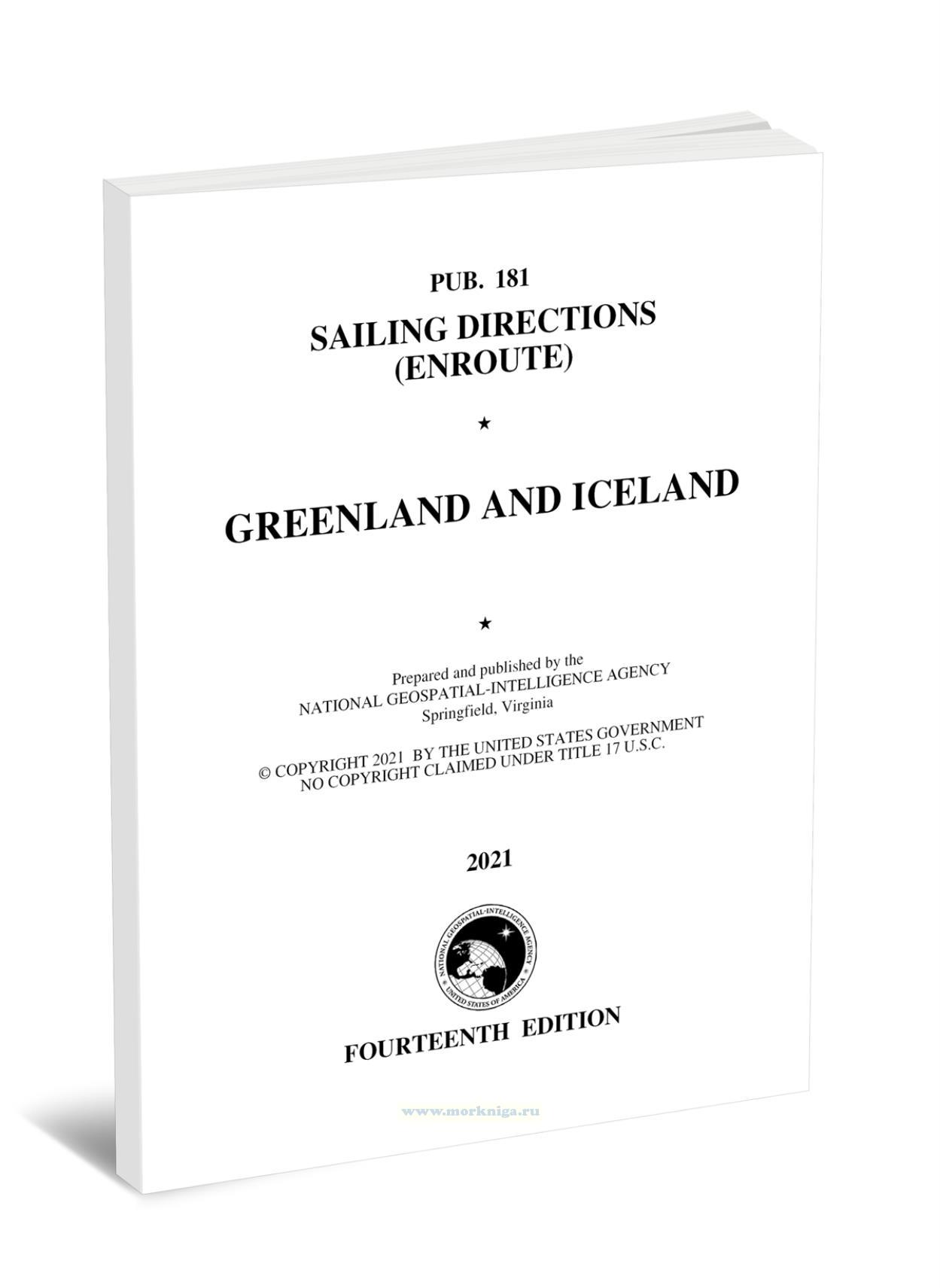
Pub. 181 Sailing Directions (Enroute) Greenland and Iceland/Pub. 181 Sailing Directions (Enroute) Greenland and Iceland
Книга на английском языке
Pub181 - Sailing Directions (Enroute) - Greenland and Iceland (2021) offers comprehensive navigational guidance for mariners exploring the waters around Greenland and Iceland. This essential resource, published by the National Geospatial-Intelligence Agency, provides detailed information on coastal features, ports, harbors, and anchorages. It includes up-to-date charts, sailing directions, and important safety notices, ensuring safe and efficient passage through these northern waters. The 2021 edition reflects the latest changes in maritime conditions, making it an indispensable tool for navigators seeking reliable and accurate information in this challenging region.
Contents
Preface
Chartlet—Sector Limits
Conversion Tables
Abbreviations
Sector 1—Greenland—South Coast—Prins Christian Sund to Kap Desolution
Sector 2—Greenland—West Coast—Kap Desolation to Nuuk (Godthab)
Sector 3—Greenland—West Coast—Nuuk (Godthab) to Disko Bugt (Qeqertatsuup Tunua)
Sector 4—Svartenhuk Peninsula (Sigguup Nunaa)
Sector 5—Greenland—West Coast—Baffin Bay to the Lincoln Sea
Sector 6—Greenland—Southeast Coast—Prins Christian Sund to Scoresby Sund
Sector 7—Greenland—East Coast—Scoresby Sund to Kap Morris Jesup
Sector 8—Iceland—West and North Coasts
Sector 9—Iceland—East and South Coasts
Glossaries
Index—Gazetteer
