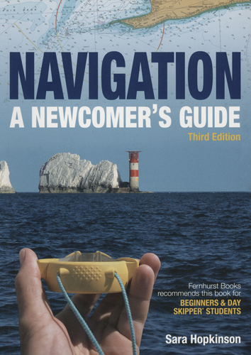
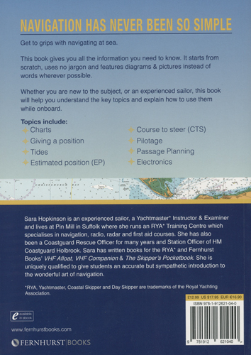
Navigation. A newcomer's guide/Навигация. Руководство для новичков
Издание на английском языке
We negotiate the motorways and rail systems using maps and signs. We have learnt to read the maps, follow the signs, look out for landmarks and study timetables. We estimate how long the journey will take, allowing for the distance and the average speed that we expect to travel, and then add on a bit because of possible delays. If it is somewhere we have not been before we read up about it and talk to friends for advice. This is navigation.
The aim of this book is to help transfer these skills of navigation from the land to the sea.
Contents
I looking at charts
Types Of Chart
Depths & Heights
Giving a position
Latitude & Longitude
Range & Bearing
GNSS
A Fix
A DR Position
An Estimated Position
Looking at tides
General Introduction
Tide Tables & Tidal Heights
Tidal Streams
Using Tidal Heights
Sierra on a passage
Pin Mill Towards Brightlingsea
Course to steer
The Basic Plot
... So Much More
Pilotage
The Buoyage System
The Plan
The Regulations
The Navigation Plan
Looking at electrics
The Basics
Chart Plotters
Sierra
... The Passage Continued
Navigation
To Sum Up
Glossary


