Сб с 10 до 16
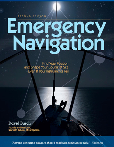
Emergency Navigation: Improvised and No-Instrument Methods for the Prudent Mariner/Экстренная навигация: импровизированные методы навигации без использования приборов для расчетливого моряка
Книга на английском языке
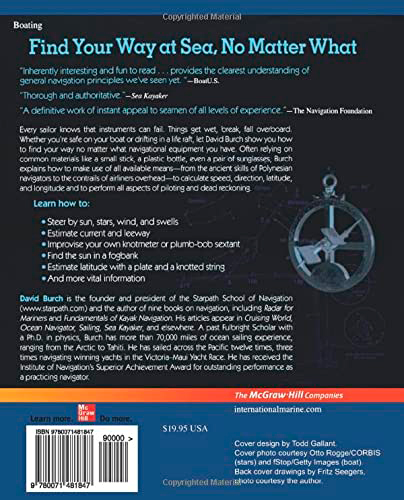
Every sailor knows that instruments can fail. Things get wet, break, fall overboard. Whether you’re safe on your boat or drifting in a life raft, let David Burch show you how to find your way no matter what navigational equipment you have. Often relying on common materials like a small stick, a plastic bottle, even a pair of sunglasses, Burch explains how to make use of all available means--from the ancient skills of Polynesian navigators to the contrails of airliners overhead--to calculate speed, direction, latitude, and longitude and to perform all aspects of piloting and dead reckoning. Learn how to
Steer by sun, stars, wind, and swells
Estimate current and leeway
Improvise your own knotmeter or plumb-bob sextant
Find the sun in a fogbank
Estimate latitude with a plate and a knotted string
And more vital information
Contents
List of Figures and Tables
Foreword to the First Edition
Preface to the Second Edition
Acknowledgments
Chapter 1. Introduction
What Is Emergency Navigation?
The Scope of This Book
Preparation for Navigational Emergencies
Chapter 2. Time and Place at Sea
Latitude Regions and Seasons Defined Time in Navigation
Finding Position versus Keeping Track of Position
Chapter 3. Directions at Sea
Choosing a Route Compass Checks Steering without a Compass
Chapter 4. Steering by Wind and Swells
Reading the Wind Swells, Waves, and Ripples Wind Shifts
Chapter 5. Steering by the Stars
Know the Whole Sky
How the Stars Move
Steering by the North Star
The Summer Triangle
The Great Square of Pegasus
Finding North without the North Star
Steering by Orion
Steering by Gemini and Procyon
Steering by Scorpio
Steering by the Southern Cross and the South Pole
Steering by Overhead Stars
Steering by Zenith Stars
Star Paths
Timing Low Stars
Chapter 6. Steering by the Sun
Sunrise and Sunset
Morning Sun and Afternoon Sun
Local Apparent Noon
Solar Time Method
The Shadow-Tip Method
The Tropics Rule for the Sun
Sun Crossing Due East or West
Sun Compasses
When the Sun Is Obscured
Chapter 7. Steering by Other Things in the Sky
The Moon The Planets
Clouds, Birds, and Planes Satellites
Chapter 8. Steering in Fog or Under Cloudy Skies
How to Make a Magnetic Compass
Direction Finding with a Portable Radio
Streaming a Line along the Centerline
Finding the Sun as a Viking Would
Chapter 9. Currents
Ocean Currents
Tidal Currents
Wind-Driven Currents
Coastal Currents
Chapter 10. Dead Reckoning
Emergency DR
Finding Boat Speed
DR Errors from Speed and Direction
DR Errors from Current and Leeway
Progress to Weather
Chapter 11. Latitude at Sea
Makeshift Altitude Measurements and Calibrations
Makeshift Altitude Corrections
Latitude from Polaris
Latitude from Zenith Stars
Latitude from Horizon-Grazing Stars
Latitude from Double Transits of Circumpolar Stars
Latitude from the Sun at LAN
Latitude from the Length of Day
Keeping Track of Latitude
Chapter 12. Longitude at Sea
Longitude from Sunrise or Sunset
Longitude from LAN (the Equation of Time)
Finding UTC from a Known Position
Keeping Track of Longitude
Chapter 13. Coastal Piloting without Instruments
Signs of Land at Sea
Visible Range of Lights and Land
Distance Off
Running Fix from Radio Bearings
Course Made Good in Current
Chapter 14. What to Do with What You’ve Got
Routine Navigation with Everything
Position by Radio Contact
Everything but UTC
Everything but a Sextant
Everything but Sight Reduction Tables
Everything but a Compass
Everything but an Almanac
Nothing but UTC
Annotated Bibliography
Basic Marine Navigation
Almanac Data
Stars and Star Identification
Finding Longitude without Time
No-Instrument Navigation
Emergency Seamanship
Periodicals of Interest to Emergency Navigation
Meteorology and Oceanography
Published Aids to Navigation


