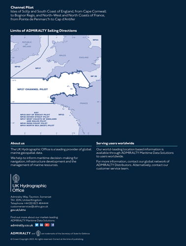
Admiralty Sailing Directions. NP 27 Channel Pilot/Адмиралтейские навигационные указания. Выпуск 27. Путеводитель по каналам
Книга на английском языке
Admiralty Sailing Directions (Pilots) provide essential information to support port entry and coastal navigation for all classes of ships at sea. They amplify charted detail and contain information needed for safe navigation which is not available from charts or other hydrographic publications. They are written with the assumption that the required charts and publications are to hand and are intended to be read in conjunction with them.
This volume contains sailing directions for the English Channel and its W approaches.
Contents
Record of updates
Preface
Reporting new dangers to navigation
Feedback
Contents
Abbreviations
Glossary
Chapter Index Diagrams
Chapter 1
Countries, Navigation and Regulations
Limits of the book
Country information
Navigational dangers and hazards
Traffic and operations
Charts
Aids to navigation
Pilotage
Radio facilities
Regulations
Signals
Distress and rescue
Natural conditions
Maritime topography
Currents, tidal streams and flow
Sea level and tides
Sea and swell
Sea water characteristics
Climate and weather
Climate information
Chapter 2
English Channel - Through Routeing
Chapter 3
Isles of Scilly to Lizard Point
Chapter 4
Lizard Point to Start Point
Chapter 5
Start Point to Portland Bill
Chapter 6
Portland Bill to Bognor Regis
Chapter 7
The Solent and approaches including Portsmouth and Port of Southampton
Chapter 8
Le Four to Pointe de la Torche
Chapter 9
Le Four to Les Heaux-de-Brehat
Chapter 10
Les Heaux- de- Brehat to Granville
Chapter 11
Channel Islands and adjacent coast of France
Chapter 12
Cap de la Hague to Pointe de Barfleur
Chapter 13
Pointe de Barfleur To Cap d'Antifer
Appendices
Appendix I - Dockyard Port Orders
Appendix II - Portland Harbour Revision Order
Appendix III - United Kingdom Territorial Waters - Order in Council
Index


