Сб с 10 до 16
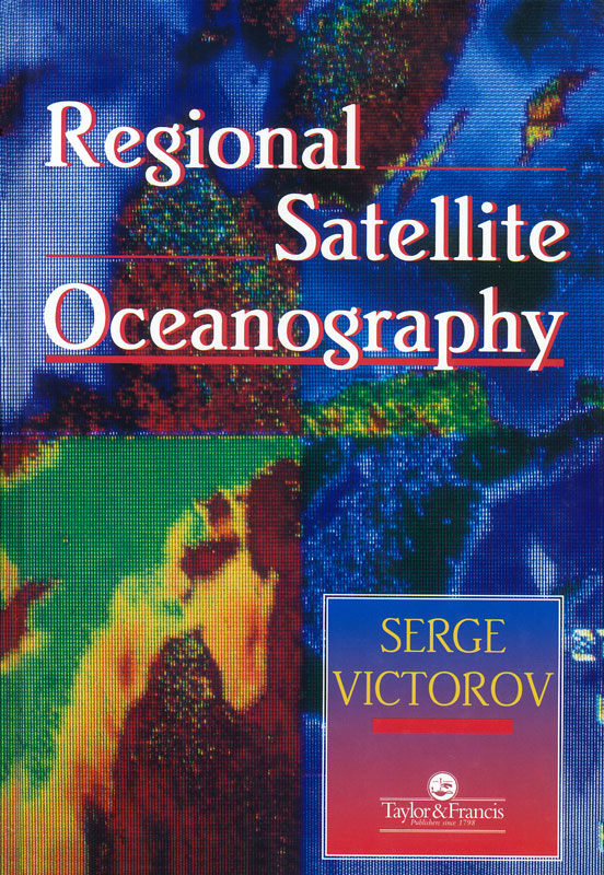
Regional Satellite Oceanography
Издание на английском языке.
This book is not about the World Ocean. It is about our local sea, our local bay, our local estuary, and our local coastline, an environment we know and love, wherever we may live. This book is the first ever book on a new subdiscipline of remote sensing: regional satellite oceanography. Written by a Russian author, who is the leading international authority, this book is clear, simple, concise, and challenging. Tapping into a resurgent interest in the regional perspective, the author addresses a number of difficult and oft-posed questions: What can the satellite actually 'see' when it is passing overhead? Is there a difference between the satellite-derived temperature of the sea and the temperature measured from a boat? How should the satellites be used to detect coastal zone pollution? Is the water clear enough - and clean enough - at our local beach?
Contents
Preface
Acknowledgments
1 Oceanography and remote sensing
1.1 Satellites and oceanographers
1.2 Regional and global satellite oceanography
1.3 The concept of regional satellite oceanography
2 Information used in regional satellite oceanography
2.1 Introduction
2.2 Matching the requirements (?)
2.3 Satellite data for regional oceanographic research
2.4 Autonomous satellite data acquisition systems
3 Methodological aspects of regional satellite oceanography
3.1 Introduction
3.2 Definitions relevant to collection of subsatellite data
3.3 Some field activities at the test areas in the selected seas
3.4 Complex Oceanographic Subsatellite Experiments (COSE)
3.5 The study of‘allowed interval of non-synchronicity’ (AINS) between oceanographic observations at different levels
3.6 Calibration of satellite sensors using natural ‘standard’ test sites
3.7 The use of satellite imagery of IR band in cloudy situations
3.8 The data processing, database and GIS approach in regional satellite oceanography
4 Regional satellite oceanography in action
4.1 Regional systems
4.2 Use of regional integrated GIS and satellite databases for marine applications and coastal zone management
4.3 Topic-oriented use of satellite data in regional marine and coastal zone environmental and development activities
5 Regional satellite oceanography: case study of the Baltic Sea
5.1 Introduction
5.2 The ‘Baltic Europe’ geographical information system
5.3 Dynamical processes in the Baltic Sea as revealed from satellite imagery
5.4 Satellite monitoring of biological phenomena and pollution in the Baltic Sea
5.5 Monitoring of the marine and coastal environments in the Neva Bay
5.6 Concluding remarks
Conclusion
References
Index


