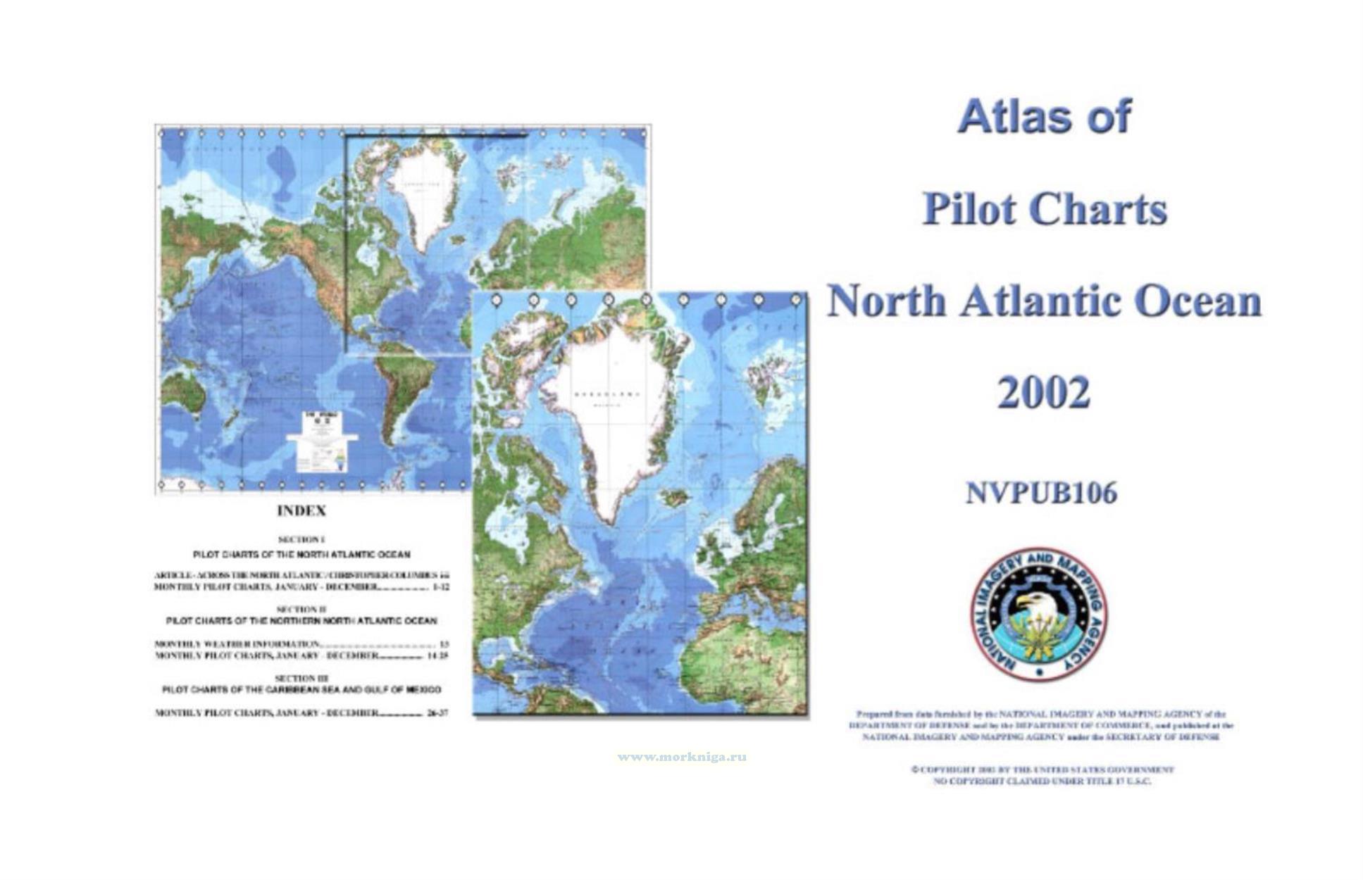
Atlas of Pilot Charts North Atlantic Ocean (including Gulf of Mexico) (Pub 106), Ed. 2002
Карты на английском языке.
Atlas of Pilot Charts covers the North Atlantic Ocean from Guyanais coast in South America, through the Gulf of Mexico, the United States eastern coastline, and the Labrador Sea to the Davis Strait, including Greenland and Iceland, and from Sierra Leone to the northeast coast of Norway, including the United Kingdom and the Baltic Sea. It also covers the Caribbean Sea and the Gulf of Mexico. There is also a passage entitled, Geodesy and Datums for the Navigator.
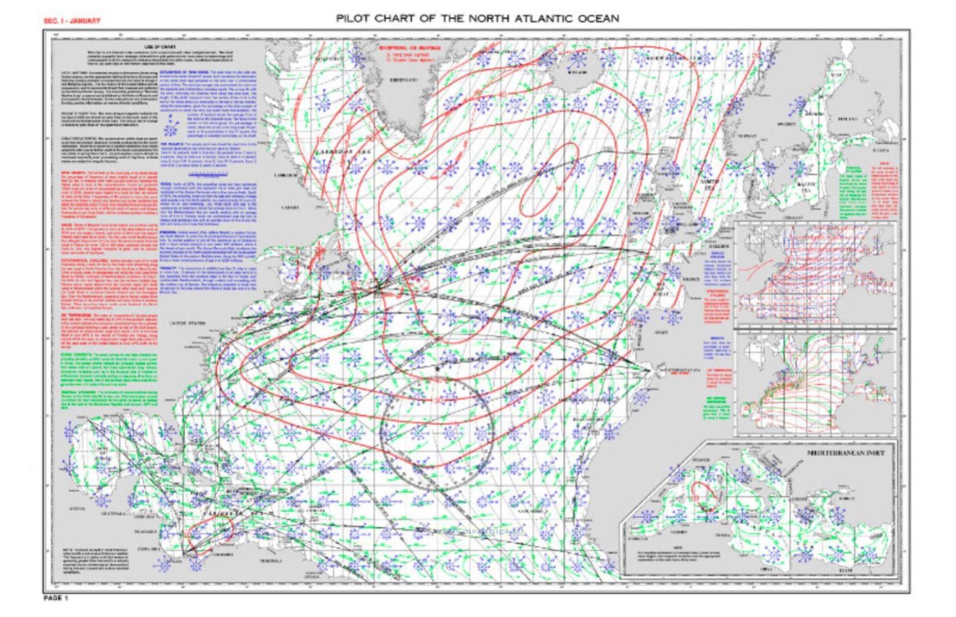
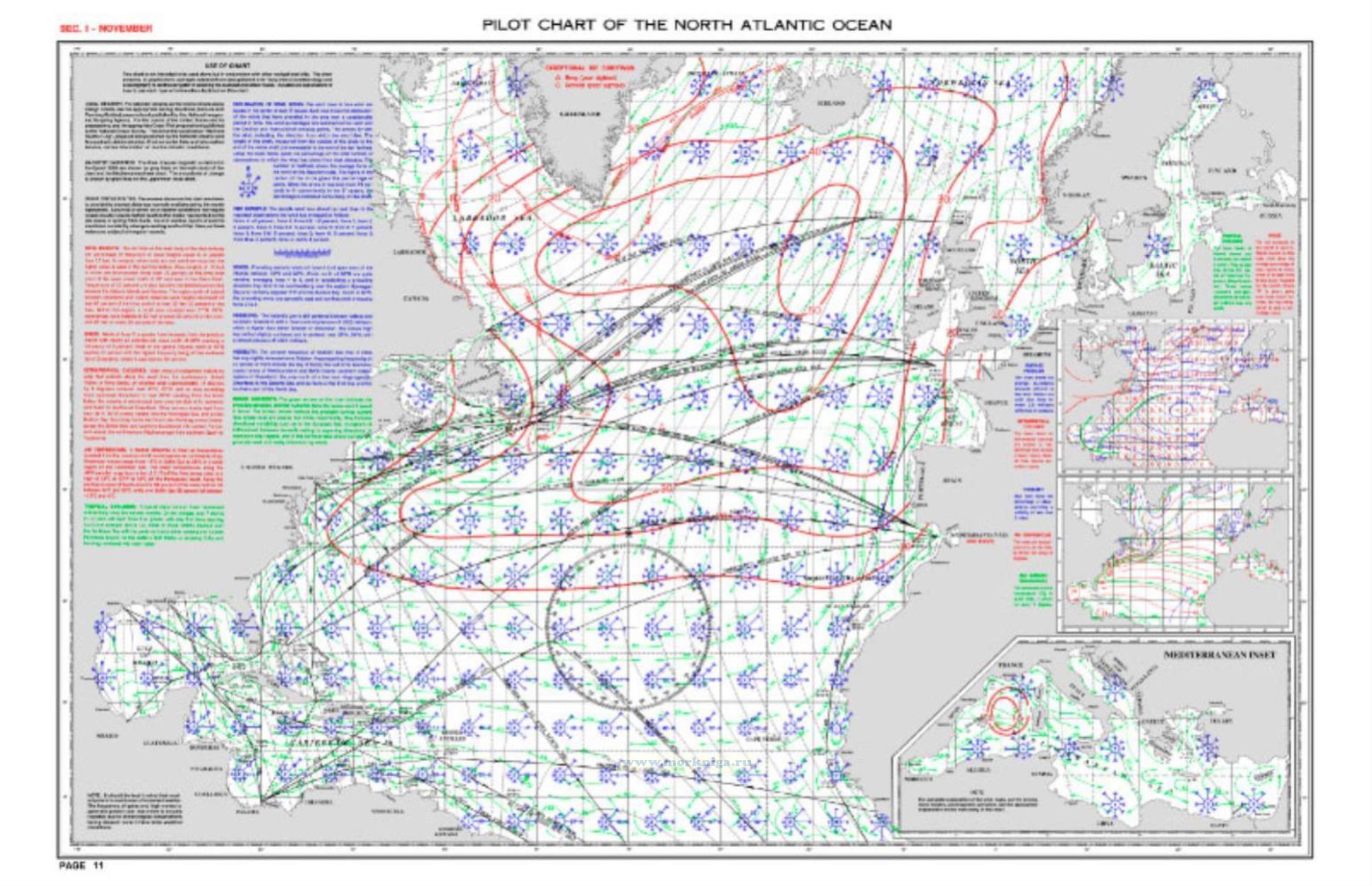
Pilot Charts depict averages in prevailing winds and currents, air and sea temperatures, wave heights, ice limits, visibility, barometric pressure, and weather conditions at different times of the year. The information used to compile these averages was obtained from oceanographic and meteorologic observations over many decades during the late 18th and 19th centuries.
The Atlas of Pilot Charts set is comprised of five volumes, each covering a specific geographic region. Each volume is an atlas of twelve pilot charts, each depicting the observed conditions for a particular month of any given year.
The charts are intended to aid the navigator in selecting the fastest and safest routes with regards to the expected weather and ocean conditions.
Атлас лоцманских карт охватывает северную часть Атлантического океана от побережья Гайаны в Южной Америке, через Мексиканский залив, восточное побережье Соединенных Штатов и море Лабрадор до пролива Дэвиса, включая Гренландию и Исландию, и от Сьерра-Леоне до северо-восточного побережья Норвегии, включая Великобританию и Балтийское море. Он также охватывает Карибское море и Мексиканский залив.
Лоцманские карты отображают средние значения преобладающих ветров и течений, температуры воздуха и моря, высоты волн, границы льда, видимости, атмосферного давления и погодных условий в разное время года. Информация, используемая для составления этих средних значений, была получена из океанографических и метеорологических наблюдений в течение многих десятилетий в конце 18 и 19 веков.
Комплект Atlas of Pilot Charts состоит из пяти томов, каждый из которых охватывает определенный географический регион. Атласы состоят из двенадцати лоцманских карт, которые отражают наблюдаемые условия для определенного месяца данного года.
Карты предназначены для помощи штурману в выборе самых быстрых и безопасных маршрутов с учетом ожидаемых погодных условий и состояния океана.
Contents
Index
Section I. Pilot Charts of the North Atlantic Ocean
Article - Across the North Atlantic / Christopher Columbus i-ii Monthly Pilot Charts, January - December
Section II. Pilot Charts of the Northern North Atlantic Ocean
Monthly Weather Information
Monthly Pilot Charts, January - December
Section III. Pilot Charts of the Caribbean Sea and Gulf Of Mexico
Monthly Pilot Charts, January - December


