Сб с 10 до 16
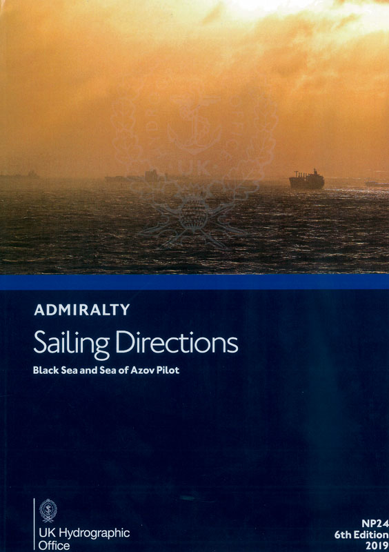
Admiralty sailing directions. NP24
Мы не можем гарантировать его наличие и поступление на наш склад по указанной цене
Издание на английском языке
ADMIRALTY Sailing Directions (Pilots) provide essential information to support port entry and coastal navigation for all classes of ships at sea. They amplify charted detail and contain information needed for safe navigation which is not available from charts or other hydrographic publications. They are written with the assumption that the required charts and publications are to hand and are intended to be read in conjunction with them.
Contents
Record of updates
Preface
Reporting new dangers to navigation
Feedback
Contents
Abbreviations
Glossary
Linguistic Notes
Table for the transliteration of Russian geographical names including the Cyrillic Morse Code
Chapter Index Diagram
Countries, Navigation and Regulations
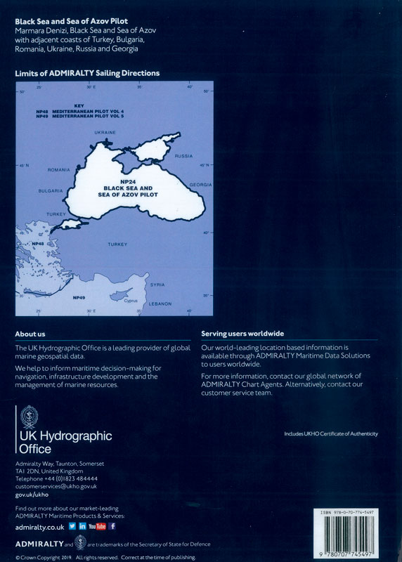
Limits of the book
Country information
Navigational dangers and hazards
Traffic and operations
Charts
Aids to navigation
Pilotage
Radio facilities
Regulations
Signals
Distress and rescue
Natural conditions
Maritime topography
Currents, tidal streams and flow
Sea level and tides
Sea and swell
Sea water characteristics
Ice conditions
Climate and weather
Climate information
Marmara Denizi
South part of the Black Sea
South-west part of the Black Sea
River Danube
North-west part of the Black Sea
North-east part of the Black Sea
Kerch Strait and Sea of Azov
APPENDICES
Appendix 1 - Regulations for the passage of vessels through Qanakkale Bogazi, Marmara Denizi and Istanbul Bogazi
Appendix 2 -Turkish regulated areas wholly or partially in the waters of the open sea
Appendix 3 - Regulated areas in the waters of Ukraine, Russia and the open sea
Appendix 4 - Bulgarian regulated areas
Appendix 5 -Georgian regulated areas
Appendix 6 -Former mine danger areas
Index


