Сб с 10 до 16
Symbols and Abbreviations Used on ADMIRALTY Paper Charts. Символы и сокращения, используемые на английских адмиралтейских картах
Издание на английском языке: Символы и абревиатуры английских адмиралтейских карт.
Gives details on symbols and abbreviations used on the worldwide range of ADMIRALTY charts, and international Chart Series Paper Charts. It also contains information on hydrography, topography and navigational aids and services.
Admiralty and INT (from the international chart series) symbols clearly illustrated in full color
Hydrography - the nature and conditions of the seabed
Topography - natural and man-made features
Navigational aids and services
Abbreviations of principal English and foreign charts
General information on the content of Admiralty Charts
Contents
System for Updating
Introduction and Schematic Layout
General
A Chart Number, Title, Marginal Notes
В Positions, Distances, Directions, Compass
Topography
С Natural Features
D Cultural Features
E Landmarks
F Ports
G Not currently used
Hydrography
H Tides, Currents
I Depths
J Nature of the Seabed
К Rocks, Wrecks, Obstructions, Aquaculture
L Offshore Installations
M Tracks, Routes
N Areas, Limits
О Not currently used
Aids to navigation and services
P Lights
Q Buoys, Beacons
R Fog Signals
S Radar, Radio, Satellite Navigation Systems
T Services
U Small Craft (Leisure) Facilities
V Explanation of Data Quality Indicators
Alphabetical indexes
Index of Abbreviations of Principal Non-English Terms
Index of Abbreviations of Principal English Terms
General Index
Certificate of Authenticity
Contents Key


 Глобальная морская система связи при бедствии и для обеспечения безопасности мореплавания (ГМССБ)
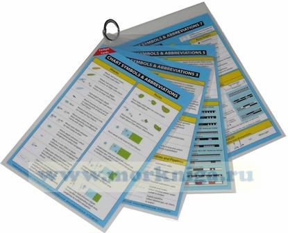
  Chart Symbols & Abbreviations. Символы и сокращения на морских картах - Cockpit Cards