Сб с 10 до 16
Fenland Waterways Водные пути Фенленда
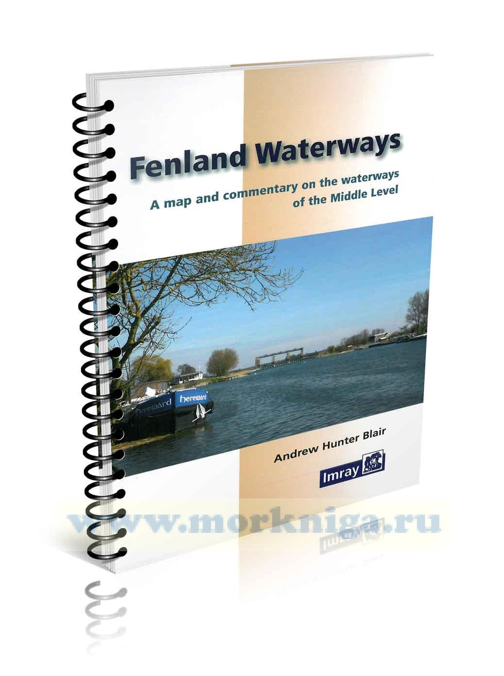
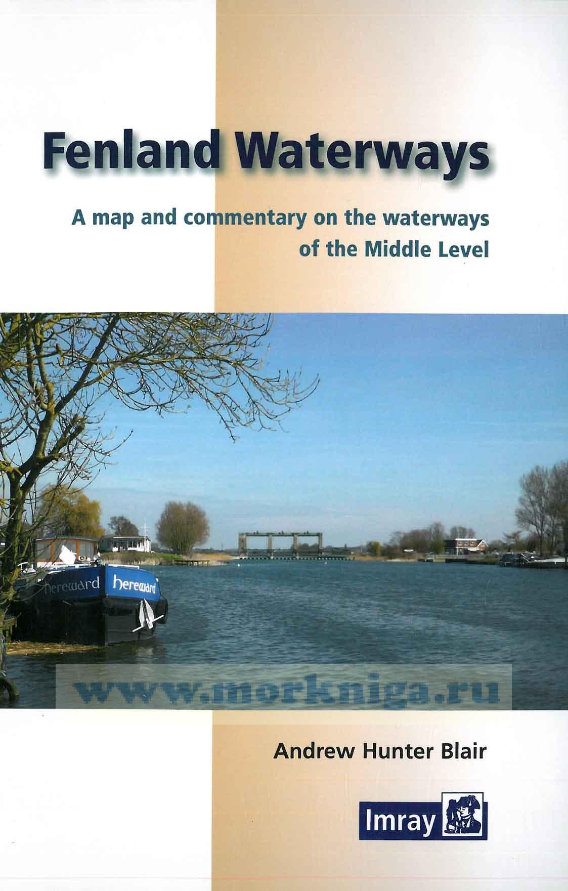
This guide describes the waterways of the Middle Level, an area of Fenland lying between Morton’s Leam near the River Nene to the west and the Old Bedford River to the east and stretching from Wisbech in the north to Earith in the south. These waterways provide not only a unique drainage network but also a navigation link between the River Great Ouse near Denver and the River Nene at Peterborough and thence to the Grand Union Canal.
Following a description of the waterways, towns and villages, all rich in history and folklore, there is an explanation of the evolution of the Fenland and the development of its drainage system.
The Great Ouse, the New Bedford River, the land lying between and to the south of these two rivers (the South Level), the Nene and the land lying to the north (the North Level), are described only in so far as it is necessary to complete the account of the Middle Level.
The guide will be of interest not only to all river users, particularly navigators and walkers, but also to those who wish to explore the Fens.
Contents
Introduction
River Cruising
The Middle Level
Points of entry
Navigation
Moorings
The River Great Ouse and Nene
Authorities
Tides
Navigation
Environment Agency moorings
Boat licensing and registration
References and further reading
Miscellaneous
Useful telephone numbers
Tourist information centres
Marinas
Toilet pump-out facilities
Distances and dimensions
River Great Ouse to River Nene
Other navigable waterways
River Great Ouse to River Nene
Salters Lode lock to Marmont Priory Lock
Marmont Priory Lock to Ashline Lock
Ashline Lock to Stanground Lock
Reed Fen Farm to Angle Bridge via the Twenty Foot River
Other navigable waterways in the Middle Level
Flood’s Ferry to Horseway lock,
Wells Bridge to Holme Fen
The Fens; past, present and future
The beginning
Early Fenland Rivers
Mankind’s influence
The early days
Draining the Fens
The Middle Level today
The future
Index
 Kennet & Avon, River Thames
  Pennine Waters
  Welsh Waters