Сб с 10 до 16
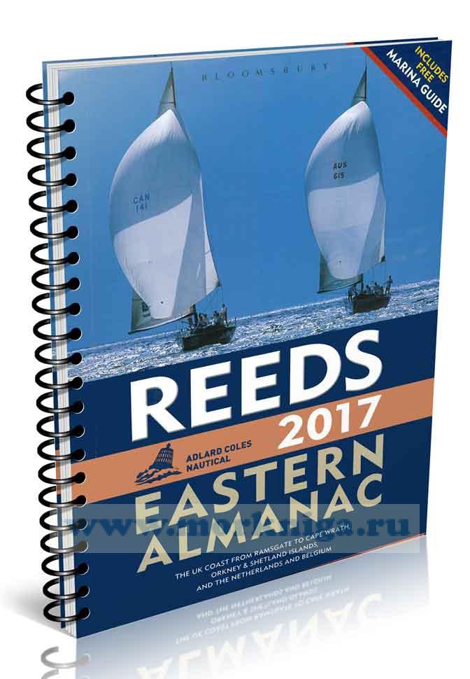
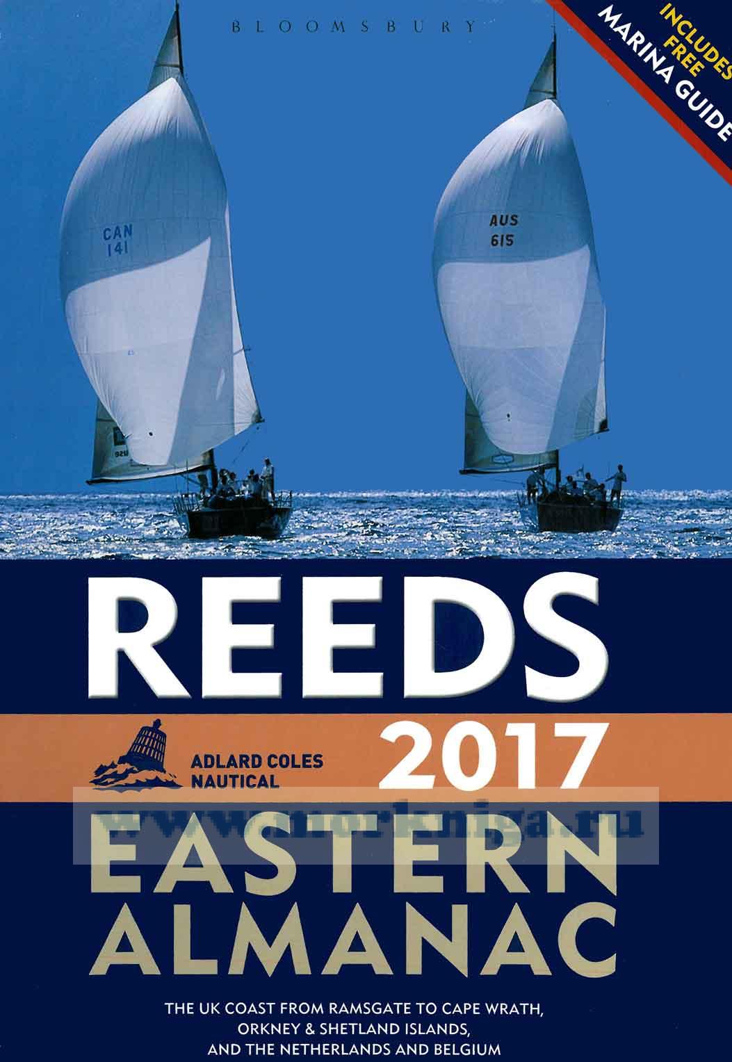
Reeds Eastern Almanac 2017
This Almanac provides basic navigational data for planning and executing passages. The tidal prediction data has been reproduced by permission of national hydrographic offices. Chartlets illustrate items in the text, orientate the user and highlight key features; they should not be relied on for navigational purposes and must always be used in conjunction with a current, corrected navigational chart. Any waypoint or position listed in this Almanac must first be plotted on the appropriate chart to assess its accuracy, safety in the prevailing circumstances and relevance to the Skipper's intentions.
Navigational guidance or suggestions are based on the accumulated experience of editors, agents, harbour masters and users. They are generic and in compiling a passage plan or pilotage notebook all other available publications and information should be consulted. They take no account of the characteristics of individual vessels nor the actual or forecast meteorological conditions, sea ortidal state. These need to be checked with appropriate local authorities for the intended area of operation prior to departure.
While every care has been taken in compiling the Almanac, it is a human endeavourwith many contributors. Despite rigorous checking there may be inadvertent errors or inaccuracies, and omissions resulting from the time of notification in relation to the publication date. To the extentthat the editors or publishers become aware of these, corrections will be published on the website www.reedsalmanacs.co.uk (requires registration). Readers should therefore regularly check the website between January and June for any such corrections. Data in this Almanac is corrected up to Weekly Edition 25/2016 of Admiralty Notices to Mariners.
The publishers, editors and their agents accept no responsibility for any errors or omissions, or for any accident, loss or damage (including without limitation any indirect, consequential, special or exemplary damages) arising from the use or misuse of, or reliance upon, the information contained in this Almanac.
The use of any data in this Almanac is entirely at the discretion of the Skipper or other individual with responsibility for the command, conduct or navigation of the vessel in which it is relied upon.
Reference Contents
REFERENCE CONTENTS
NAVIGATIONAL CONTENTS.
0.1 The Almanac
0.2 Symbols and abbreviations
0.3-4 Passage planning form and notes
0.5 Positions from GPS
0.6 VHF Communications
0.7-8 Distress calls. Urgency and Safety calls
0.9 GMDSS
0.10-13 HM, Dutch and Belgian Coast Guard details
0.14-18 Weather
NAVTEX • MSI Broadcasts by HM CG • Broadcasts in the UK• Dutch weather broadcasts • Belgian weather broadcasts
0.19 Automatic Identification System (AIS)
0.20-21 Tidal predictions. Overhead clearances
0.22 IALA buoyage
0.23 Flags and ensigns
0.24 Lights and shapes
0.25 Navigational lights
0.26 Tidal coefficients
0.27 Calculating tidal stream rates
0.28-29 Sun and moon: rising and setting times
0.30 International Code flags, IPTS
0.31-32 Area and harbour information
0.33 Environmental guidance
0.34 Distances across the North Sea
EASTERN ENGLAND
Ramsgate to Berwick-upon-Tweed, see page ix for detail
NETHERLANDS AND BELGIUM
Delfzijl to Nieuwpoort, see page ix for detail
EASTERN SCOTLAND
Eyemouth to Shetland Islands, see page ix for detail
INDEX
Navigational Contents
EAST ENGLAND
Area 1 Ramsgate to Great Yarmouth
Area Map
Tidal streams
Lights, buoys and waypoints
Passage information
Port information
NETHERLANDS AND BELGIUM
Area 2 Delfzijl to Nieuwpoort
Area Map
Tidal streams
Lights, buoys and waypoints..
Passage information
Special notes for Netherlands
Port information
Special notes for Belgium
NORTH EAST ENGLAND
Area 3 Winterton to Berwick-upon-Tweed
Area Map
Tidal streams
Lights, buoys and waypoints
Passage information
Port information
EASTERN SCOTLAND
Area 4 SE Scotland, Eyemouth to Rattray Head
Area Map
Tidal streams
Lights, buoys and waypoints
Passage information
Port information
Area 5 NE Scotland, Rattray Head to Cape Wrath, including Orkney and Shetland Islands
Area Map
Tidal streams
Lights, buoys and waypoints
Passage information
Port information


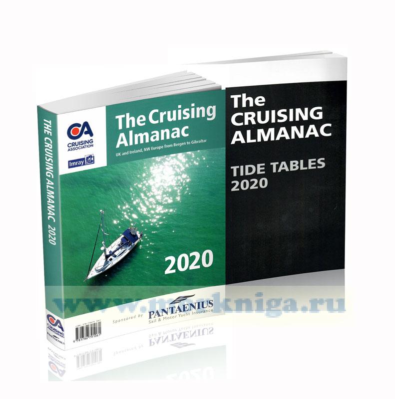
 The Cruising Almanac with Tide Tables