Сб с 10 до 16
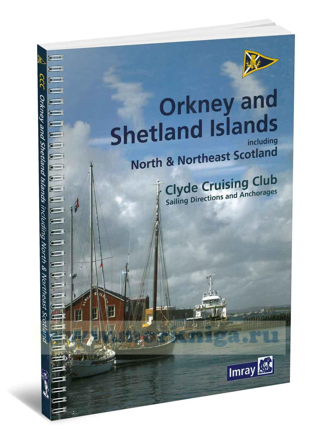
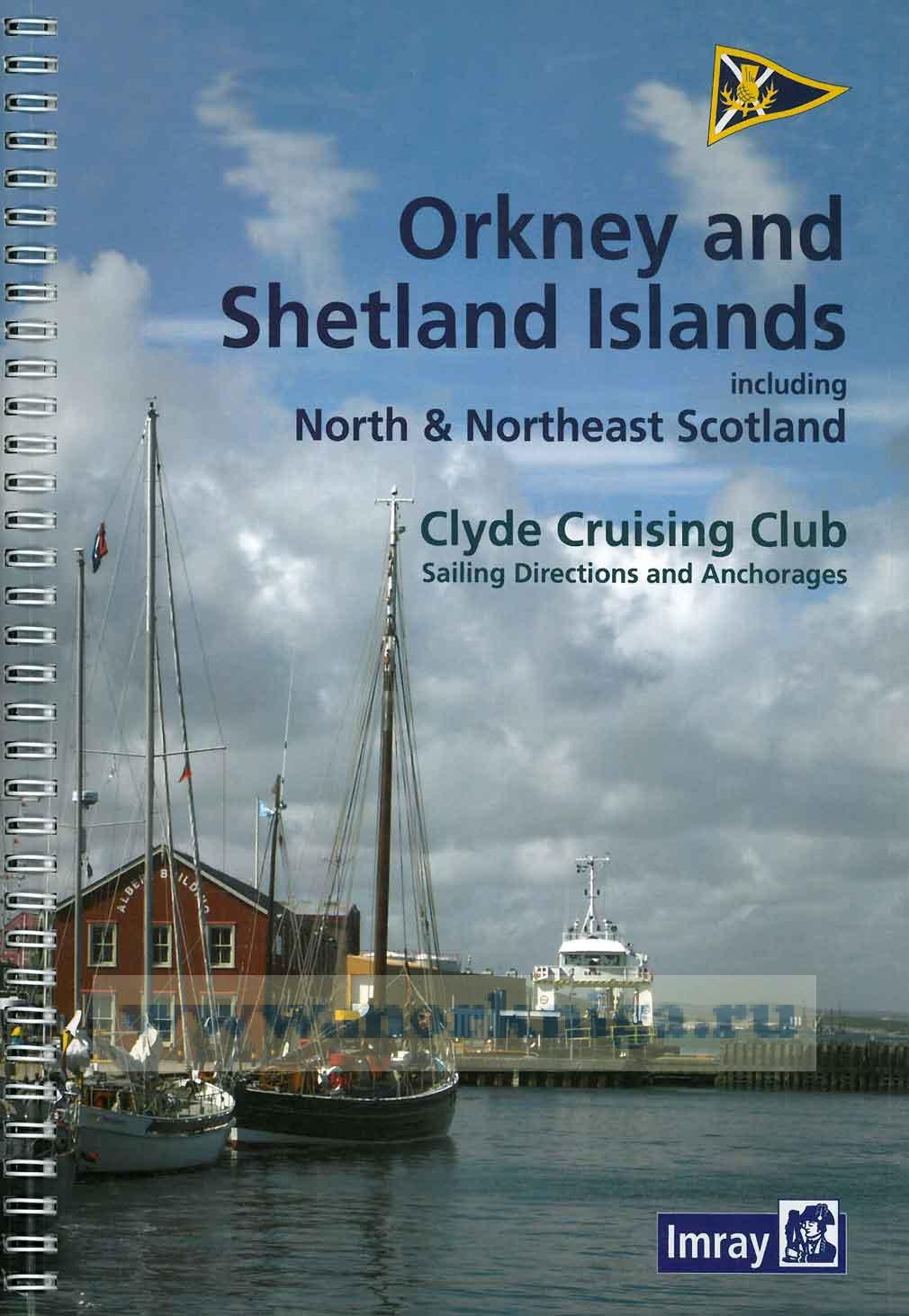
Clyde Cruising Club Sailing Directions & Anchorages Orkney Islands and Scotland islands including North & North East Scotland Шетланские и Окнейские острова
It is now almost forty years since the Clyde Cruising Club published, under the hand of Godfrey Vinycomb, the Editor of the Sailing Directions throughout the 1970s, the Shetland Sailing Directions. This was the last of the three books that the CCC had undertaken to produce as part of the plan, formulated by the Conference of Yacht Cruising Clubs, to provide yachtsmen with sailing directions for the entire UK coastline. The three slim volumes continued to sell until stocks were exhausted and in 2003 they were thoroughly revised, updated and published in two books, by the then editor, Arthur Houston.
Since then they have been revised several times but the Club’s collaboration with Imray, Laurie, Norie and Wilson in 2010 has eventually led to another complete reappraisal and updating of the content: the result is this book which includes both the Shetland and Orkney Islands as well as the Scottish north and northeast coast from Cape Wrath to
Inverness. The latter is a condensed version of our previous book and includes only those harbours likely to be of interest to, and accessible by, deep-keeled yachts on passage to the Northern Isles from either the west coast or the Caledonian Canal at Inverness.
Smaller craft, and those who would like to spend more time exploring the north and northeast Scottish coast, will find that Martin Lawrence’s Yachtsman’s Pilot, North and East Scotland, also published by Imray and still available, remains the definitive guide to this coastline whilst also extending southwards to the English border. The latest edition of this was published in 2009 and Imrays have plans in hand for a replacement but no date for publication has yet been fixed.
Godfrey Vinycomb’s statement in the introduction to the first edition of Shetland, ‘the only drawback to cruising in Shetland is the time it takes to get there’ is as true now as it ever was and, if possible, it is best to allow.
Contents
Preface
Introduction
General introduction
Emergencies
Weather
Equipment
Tidal Information
Notes on sailing directions and plans
Charts and maps
Communications
Travel
Access Rights
Anchorages, moorings and berthing Principal chart symbols
1 Cape Wrath to Scrabster
2 Pentland Firth
3 Wick to Inverness
4 Orkney Islands
South
North
5 Orkney to Shetland
6 Shetland
South East
East
South West
North West
North East
Appendix
Charts and other publications
Port information
Contact telephone numbers and websites Orkney tidal streams
Glossary
Index


 Rocks and Rivers
  The Shell Channel Pilot. South coast of England, the North coast of France and the Channel Islands
  East Coast Rivers