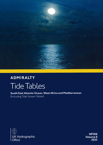
Admiralty Tide Tables. NP208. Volume 8. 2025. South East Atlantic Ocean, West Africa and Mediterranean
Мы не можем гарантировать его наличие и поступление на наш склад по указанной цене
Издание на английском языке
Part I of these tables gives daily predictions of the times and heights of high and low waters at a selected number of Standard Ports. The list of Standard Ports is given at the front of the book.
Part II gives data for prediction at a large number of Secondary Ports; this is in the form of time and height differences, referred to one of the Standard Ports in Part I.
Part III lists the harmonic constants which can be used for prediction by the Simplified Harmonic Method of Tidal Prediction, (see also page xxix).
Part IIIa lists harmonic constants of the tidal streams which can be used for prediction by the Simplified Harmonic Method of Tidal Prediction, (see also page xxix).
This volume also contains an introduction dealing with, in particular, the effect of meteorological conditions on tidal heights; there are also a number of special tables and other information for use with the tide tables.
Contents
Index to Standard Ports in Part I
Preface
Purpose
Related Admiralty Publications
Admiralty Digital Publications (ADP) - Admiralty TotalTide
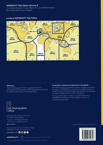
Diagram showing limits of Admiralty Tide Tables
Introduction
Methods of Prediction: Tidal Levels: Meteorological Effects on Tides: Negative Surges: Datums of Tidal Predictions: Shallow Water Corrections: Seasonal Changes in Mean Level: Seasonal Variations in Harmonic Constants: Zone Time and Time Differences: Height Differences: Tidal Levels at Standard Ports: Criteria for Diurnal and Semi-Diurnal Tables: Seismic Sea Waves: Tidal Streams and Currents: Supplementary Tables
Instructions for the use of Tables
Supplementary tables
Table I: Conversion Table - metres to feet
Table II: Multiplication table
Table III: is given only in ATT Volumes 1A and B
Table IV: Height of Chart Datum relative to the Land Levelling System in countries outside the United Kingdom
Table V: Part 1 Tidal levels at Standard Ports, Authorities, methods of prediction, etc. (with notes)
Part 2 Highest Astronomical Tide Levels (HAT) at SecondaryPorts
Table VI: Fortnightly Shallow Water Corrections
Table VII: Tidal Angles and Factors
Table VIII: Orbital Elements
Part I
Predictions of high and low water for Standard Ports (with diagrams to facilitate prediction at times between high and low water for all Standard Ports except those marked with a page stating "limited source data" in European Waters)
Part Ia
Contents of Tidal Stream Tables
Explanation of Tidal Stream Tables
Tidal Stream Tables
Part II
Non-harmonic data
Notes on Part II
Part III
Harmonic Constants
Part IIIa
Harmonic Constants for Tidal Streams
General
Geographical Index
List of tidal publications
Certificate of Authenticity


 Northern Sea Route Handbook/Справочник по Северному морскому пути
  Система МАМС. 1999 г. Международная ассоциация маячных служб
  Огни и знаки Онежского озера. Адм. № 2001