Сб с 10 до 16
East Coast Pilot. 4-th edition Лоция Восточного побережья. 4-е издание
Since its launch East Coast Pilot has become the most popular pilot book for the creeks, harbours and rivers between Great Yarmouth and Ramsgate, providing clear and concise sailing directions for visitors and regular East Coast cruising yachtsmen alike.
The three authors all keep their boats on the East Coast and sail these waters regularly, using their time afloat to update their knowledge and experience so that they can pass on exactly the kind of information required by anyone cruising there.
For clarity and ease of reference, the pilotage information is arranged in sequence on double page spreads to give the navigator all that is required to take his craft into a river or harbour. The information is backed up by Imray's clear cartography, the authors' sea level photographs of exactly what the navigator will see, Patrick Roach's aerial photographs for an overview of the main areas and 'rolling road' diagrams. These unique illustrations, introduced to great acclaim in the first edition, show buoyage sequences and tracks to steer for the more difficult sections of rivers and harbour entrances.
East Coast Pilot
Introduction
Acknowledgements
Symbols used on charts
Abbreviations
General information
Tidal stream diagrams
1 Great Yarmouth
2 Lowestoft
3 Southwold
4 Rivers Ore and Aide
5 River Deben
6 Harwich
7 River Stour
8 River Orwell
9 Walton Backwaters
10 River Colne
11 River Blackwater
12 River Crouch
13 River Roach
14 Canvey and Leigh
15 River Thames
16 River Medway
17 The Swale
18 North Kent Coast
19 Ramsgate
20 Thames Estuary Passages
Index

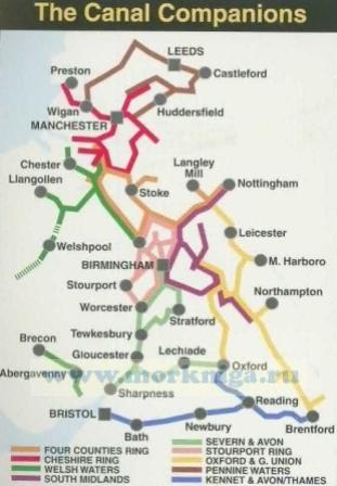
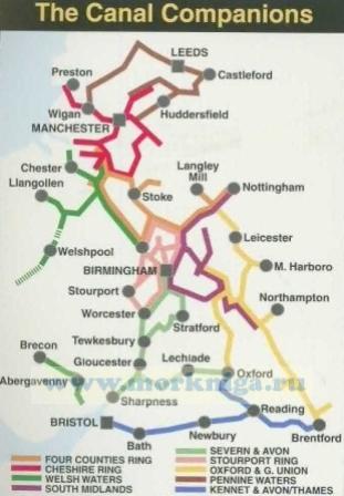
 Cheshire Ring
  Kennet & Avon, River Thames
  South Midlands & Warwickshire Ring