Сб с 10 до 16
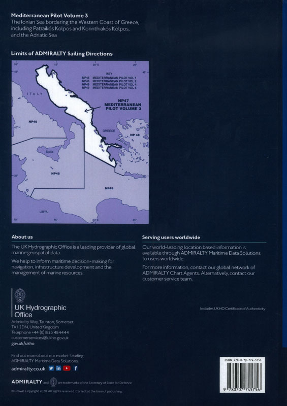
Admiralty sailing directions. NP47. Mediterranean pilot. Vol. 3
Мы не можем гарантировать его наличие и поступление на наш склад по указанной цене
-
 Admiralty list of radio signals. Vol 6. NP286(4) (ALRS). 2023. Pilot services, vessel traffic services and port operations. Indian sub-continent, South EAST Asia and Australasia
-
 Положение о регистрации аварийных радиобуев международной спутниковой системы КОСПАС-САРСАТ. СТО МСС.02-2009
-
 Admiralty list of radio signals. Vol 1. NP281(1) (ALRS). 2023 Maritime radio stations. Europe, Africa and Asia (excluding the Far East)
Издание на английском языке
ADMIRALTY Sailing Directions (Pilots) provide essential information to support port entry and coastal navigation for all classes of ships at sea. Split across 76 volumes, coverage includes the world’s main commercial shipping routes and ports.
Each volume of Sailing Directions offers:
- Information on navigational hazards, buoyage, pilotage, regulations, general notes on countries, port facilities, seasonal currents, ice and climatic conditions. This information, when used alongside official ADMIRALTY charts, can help to increase situational awareness on the bridge.
- High quality diagrams and photography to help bridge-crews understand critical information during the passage planning stage.
- Worldwide official coverage to support safe and compliant navigation within main commercial shipping routes and ports. This coverage is split across 76 volumes for purchase flexibility.
Contents
Record of updates
Preface
Reporting new dangers to navigation
Feedback
Contents
Abbreviations
Glossary
Index chartlet
Chapter 1
Countries, Navigation and Regulations
Limits of the book (1.1)
Country information (1.2)
Navigational dangers and hazards (1.18)
Traffic and operations (1.24)
Charts (1.38)
Aids to navigation (1.49)
Pilotage (1.51)
Radio facilities (1.53)
Regulations (1.64)
Signals (1.88)
Distress and rescue (1.91)
Natural conditions
Maritime topography (1.98)
Local magnetic and local anomalies (1.101)
Currents, tidal streams and flow (1.102)
Sea level and tides (1.109)
Sea and swell (1.112)
Sea water characteristics (1.115)
Climate and weather (1.120)
Climate information (1.150)
Chapter 2
Through routes
Chapter 3
Eastern side of Ionian Sea from Akra Tainaro to Akra Mytikas excluding PatraTkos Kolpos and Korinthiakos Kolpos
Chapter 4
Patra?k?s Kolpos and Korinthiakos Kolpos
Chapter 5
Eastern side of the Ionian and Adriatic Seas from Akra Mytikas to Lumi i Vjoses
Chapter 6
Eastern side of the Adriatic Sea from Lumi i Vjoses to Rt Ostra
Chapter 7
Eastern side of the Adriatic Sea from Rt Ostra to Rt Ploca
Chapter 8
Eastern side of the Adriatic Sea from Rt Ploca to Otocic Grujica
Chapter 9
Kvarnerski Zaljev
Chapter 10
Eastern and northern sides of the Adriatic Sea from Rt Kamenjak to Grado
Chapter 11
Southern part of the east coast of Italy from Capo Santa Maria di Leuca to Pescara
Chapter 12
Northern part of the east coast of Italy from Pescara to Grado
Index
Certificate of Authenticity


