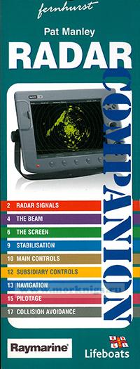
Radar companion
These splashproof cards take the mystery out of using radar on a small boat for navigation and collision avoidance.
A radar screen in the cockpit is the most useful tool for navigation. It can show you the land and approaching boats in daylight, in darkness and in fog. And, combined with GPS, it can show you your position and destination relative to the land as a ‘birds eye view’.
Pat Manley concentrates on using the controls to get the best picture, then explains how to understand the display and gives plenty of examples of radar plots.
Содержание
WHAT IS RADAR?
• A stream of pulses is emitted by the rotating scanner in a beam of controlled dimensions.
• It's a bit like a rotating searchlight being switched rapidly on and off.
• If one of these pulses hits a target and is reflected back to the scanner, the radar measures the time that the pulse takes to return. This is known as the echo.
• Only a tiny proportion of the transmitted pulse is returned to the scanner.
• The radar can then calculate the range of the target. The radar set knows which direction the scanner was pointing when the returning pulse was received. It therefore knows what direction the target bears in relation to the bows of the boat.
Thus the radar is able to deduce the range and bearing of the target.
HOW FAR CAN RADAR SEE?
• The radar can see only a little further than the horizon.
• The higher the radar scanner, the further it can see.
• The horizon is only a little more than 3 miles away if your eye height is 2 m.
• The horizon for a scanner mounted 4 m above sea level is about 5 miles.
• The horizon for a scanner mounted 9 m above the sea is about 8 miles.

 Брелок в форме буйка в ассортименте
  Русско-английский тематический словарь яхтсмена