Сб с 10 до 16
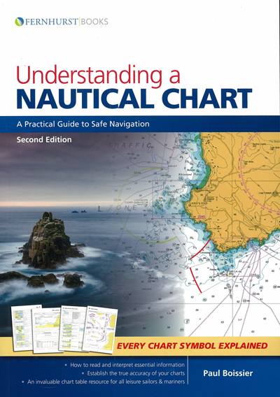
Understanding a nautical chart. A practical guide to safe navigation. Second Edition
Мы не можем гарантировать его наличие и поступление на наш склад по указанной цене
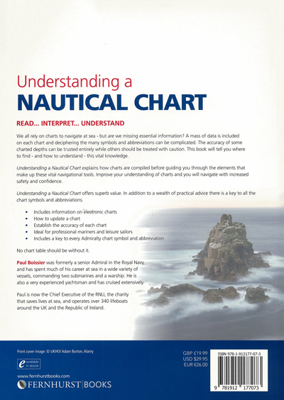
We all rely on charts to navigate at sea - but are we missing essential information? A mass of data is included on each chart and deciphering the many symbols and abbreviations can be complicated. The accuracy of some charted depths can be trusted entirely while others should be treated with caution. This book will tell you where to find - and how to understand - this vital knowledge.
Understanding a Nautical Chart explains how charts are compiled before guiding you through the elements that make up these vital navigational tools. Improve your understanding of charts and you will navigate with increased safety and confidence.
Understanding a Nautical Chart offers superb value. In addition to a wealth of practical advice there is a key to all the chart symbols and abbreviations.
• Includes information on electronic charts
• How to update a chart
• Establish the accuracy of each chart
• Ideal for professional mariners and leisure sailors
• Includes a key to every Admiralty chart symbol and abbreviation
No chart table should be without it.
Contents
1 What is a Chart?
2 A Chart is Never 100% Accurate
3 What the Chart-Maker Does for Us
4 Other Relevant Documentation
5 Howto Use a Chart
6 Orientation
7 The Basics (and Where to Find Them)
8 Depth and Elevations
9 Landmarks, Lights and Coastal Features
10 Dangers: Wrecks, Rocks and Obstructions
11 Navigation Restrictions and Limits
12 Radar and Radio
13 Tides, Tidal Streams and Currents
14 Small Craft Features
15 Other Charting Authorities
16 GPS
17 Digital Charting
Symbols and Abbreviations used on Admiralty Paper Charts


 Навигационные пособия Великобритании и США. Условные обозначения на адмиралтейских картах и планах
  The Principles of Navigation
  XVIII Санкт-Петербургская международная конференция по интегрированным навигационным системам. Сборник материалов. 30 мая-01 июня 2011 г.