звоните нам Пн-Пт с 9 до 19,
Сб с 10 до 16
Сб с 10 до 16

Издание на английском языке
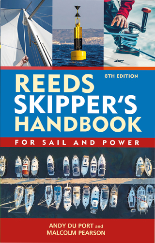
The Reeds Skipper's Handbook is an updated navigation guide for sailors based on the original work of Malcolm Pearson. It examines modern navigation technologies such as GPS and electronic mapping systems, and highlights the importance of maintaining basic skills in working with paper maps. The book covers key aspects of navigation, including collision avoidance, rules at sea, weather forecasting, tides, and boat management, serving as a useful reference for captains. The section on UK inland waterways has been shortened in this edition, as most yachts do not use these routes.
Contents
Introduction
Acknowledgements
The nautical chart
Latitude and longitude
Positions
Nautical miles
Chart projections
Great circles and rhumb lines
Measuring distance
Plotting tracks and positions
Chart symbols
Buoys and marks
Light characteristics
Electronic navigational charts
Chart corrections
The magnetic compass
Introduction
Variation
Deviation
Position
Introduction
Fixing position
Compass bearings
Visual fix
Transits
Clearing bearings
Running fix
Dead reckoning and estimated position
Navigational wrinkles
Tidal streams
Flood and ebb
Tidal diamonds
Tidal stream atlases
Interpolation of rates
Coastal tidal streams
Tides
Springs and neaps
Tidal patterns
Chart datum
Drying heights
Tidal heights
Finding the height of the tide
Standard/secondary ports
Time zones
Calculating tidal heights
Rule of twelfths
South Coast anomalies
Finding depths
Finding depth to anchor
Anchoring – depth by echo sounder
Depth and clearance below the keel
Clearances under bridges
Course to steer
Tidal stream/current
Leeway
Calculations
Sailing to windward
Lee-bowing the tide
Estimated time of arrival
Electronic navigation
Global Positioning System
Waypoint navigation
Chart plotters
Passage planning apps
Automatic identification system
Automatic Identification System
Equipment
Operation
Distance off
Lights
Vertical sextant angles
The sextant
Astro navigation
Sextant errors
Collision regulations
Definitions
Responsibilities between vessels
Basic rules
Avoiding collision (Rule 8)
Narrow channels (Rule 9)
Traffic separation schemes (Rule 10)
Restricted visibility (fog) (Rule 19)
Sound signals
Manoeuvring signals
Lights
Lights and daymarks on vessels
SOLAS
Regulations
Safety and distress
Calling for help
Personal safety
Abandon ship
Helicopter rescue
Life-saving signals
Man overboard
Prevention
Immediate actions
Manoeuvring under sail
Manoeuvring under power
Communications
VHF radio
Words and Morse
International Code of Signals
Weather
Weather patterns - a summary
Weather maps
Local effects
Beaufort scale
Shipping forecasts
Definitions
Anchoring and berthing
Choice of anchor
Anchoring
Berthing alongside
Berthing alongside another boat
Berthing on a wall
Leaving a berth
Leaving a raft of boats
Points of sailing
Theory of sailing
Apparent wind
Points of sailing
Bends, hitches and knots
Definitions
Securing to a cleat
Rope materials
Inland waterways
UK waterways
European waterways
CEVNI - red waterway signs
CEVNI - blue informative and advisory signs
CEVNI - light signals at locks and opening bridges
CEVNI - land marks and crossovers
CEVNI - fixed bridge markings
Log calibration
Introduction
Methods
Tables and conversions
International code of signals
International port traffic signals
Facts and figures
Distance off/Conversion/Sun movement
Distance off by vertical angle
Range of lights
Paperwork
Pre-sailing checks
Index


 Русско-английский тематический словарь яхтсмена
  Морской английский для яхтсменов
  Настройка парусов и такелажа