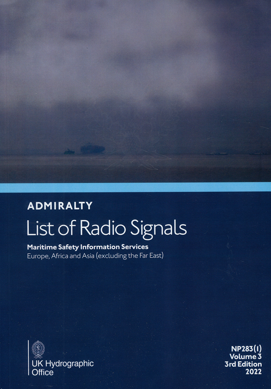
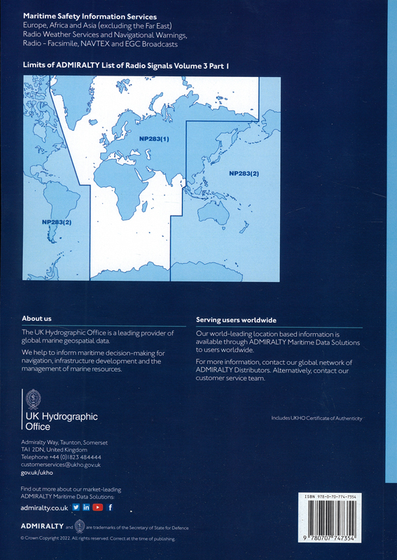
Admiralty list of radio signals. Vol 3. NP283(1) (ALRS). Maritime safety information services. Europe, Africa and Asia (excluding the Far East) 2022
Издание на английском языке
The Third Edition (2022) of ALRS Volume 3 Part 1 contains the latest information received by the UKHO.
All reasonable effort has been made to ensure that this Volume contains all of the information obtained and assessed by the UKHO by the date of publication. Information received after that date will be included in Section VI of the Weekly Edition of ADMIRALTY Notices to Mariners.
This edition supersedes the Second Edition (2021) which is cancelled.
ADMIRALTY List of Radio Signals (ALRS) provides a comprehensive source of information on all aspects of Maritime Radio Communications. The purpose of this Volume is to provide information on the following topics:
- Maritime Weather Services
- Maritime Safety Information Broadcasts
- Worldwide NAVTEX and SafetyNET Information
- Submarine and Gunnery Warning Details
- Radio-Facsimile Stations, Frequencies and Index of Map Areas
Contents
Directions for Updating This Volume
Record of Updates
Annual Notices to Mariners.
Contents
Preface
Purpose of ADMIRALTY Radio Signals
How to Report New or Suspected Dangers to Navigation or Changes Observed in Aids to Navigation
Feedback
UKHO Contact Details
How to obtain ADMIRALTY Charts and Publications
Related ADMIRALTY Publications and Their Contents
General Information
Abbreviations and Glossary
List of services in country order
MARITIME SAFETY INFORMATION
Extracts from the revised Joint IMO/IHO/WMO Manual on Maritime Safety Information (MSI) January 2016
National Practices
Radio Navigational Warnings on the Internet
Web Portal for IMO/WMO Worldwide Met-Ocean Information and Warning Service (WWMIWS)
AIS MSI Broadcasts
EGC SERVICES
EGC Services
SafetyNET
SafetyCast
Diagram - Inmarsat С and Mini С Satellite Footprints NAVAREAs
Diagram - Inmarsat С and Mini С Satellite Footprints METAREAs
Diagram - Inmarsat FleetBroadband coverage NAVAREAS
Diagram - Inmarsat FleetBroadband coverage METAREAS
EGC MSI Broadcast Systems Operational Information
NAVAREA Broadcast Information
METAREA Broadcast Information
EGC ANNEX
NAVTEX
NAVTEX Principles
Common Abbreviations for the International NAVTEX Service
Index of Diagrams
RADIO-FACSIMILE
introduction
Symbols and Depictions used on Radio-Facsimile Charts for Marine purposes
Service Details
RADIO WEATHER SERVICES AND NAVIGATIONAL WARNINGS
Introduction
Service Details
MULTILINGUAL LIST OF TERMS USED IN WEATHER AND SEA BULLETINS
SHIPS' WEATHER REPORTS
Port Meteorological Officers
The WMO Voluntary Observing Ship Programme (VOS)
METEOROLOGICAL CODES
FM System of Numbering Code Forms
FM System of Code Forms
List of Code Forms with Notes and Regulations
Maritime Forecast Code (MAFOR)
Symbolic Letters and Remarks as to the Methods of Coding
Code Tables
ICE REPORTS
The Baltic Sea Ice Code
Denmark
Estonia
Finland
Germany
Greenland
Latvia
Lithuania
Netherlands
Norway
Poland
Russia (Baltic and Gulf of Finland)
Russia (Northern Sea Route)
Sweden
METEOROLOGICAL SCALES AND DEFINITIONS
International Meteorological Scales and Definitions
UK Met Office Meteorological Scales and Definitions
TABLES
Conversion Tables
WEATHER 'APPS'
Weather ‘Apps’ for Mobile, Tablet and iPhone Devices
SPACE WEATHER
Space Weather and the Effect on Maritime Communications and Navigation
INDEX
Certificate of Authenticity


 Обслуживание и ремонт судовых теплообменных аппаратов
  Обслуживание и ремонт судовых котлов
  Международное руководство по судовой медицине