с 9:00 до 19:00
Каталог▲▼
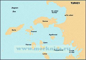
G32 Eastern Sporades, Dodecanese and the Coast of Turkey Восточные Спорадические, Додеканические острова Греции и побережье Турции (1:200 000)
Артикул: 00806054
в желания Под заказ
Автор: Imray
Издательство: Imray (все книги издательства)
Место издания: England
ISBN: 9781786790491
Год: 2018
Формат: А1 (594x840 мм)
Переплет: Листовое издание
Вес: 125 г
Товар будет заказан у поставщика.
Мы не можем гарантировать его наличие и поступление на наш склад по указанной цене
Мы не можем гарантировать его наличие и поступление на наш склад по указанной цене
3200 P
-
+
С этим товаром покупают
All Imray charts are based on WGS 84 datum as indicated in the catalogue. Apart from some of the Imray-lolaire charts of the Caribbean Sea, all are metric.
Every chart includes details of the datum and projection on which it was based, to allow it to be used safely with satellite navigation systems.
См. также Греция, от Монемвасии до Северных Спорад (часть №1)
Х
message


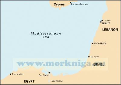
 M22 Egypt to Israel, Lebanon and Cyprus. Побережье Средиземного моря: Египет, Израиль, Ливан и Кипр
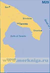
  M29: Тарентский залив. Golfo di Taranto