Сб с 10 до 16
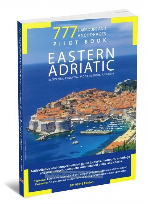
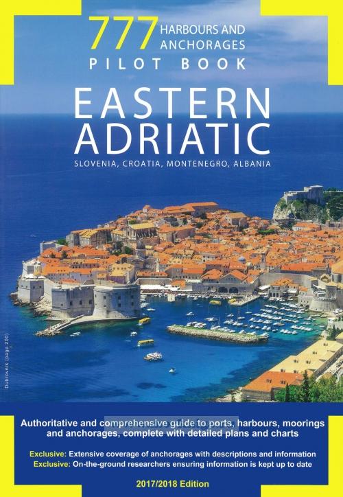
777 Harbours and Anchorages Хорватия, Словения и Черногория: Марины и якорные стоянки. 2017/18, 4-я редакция
Мы не можем гарантировать его наличие и поступление на наш склад по указанной цене
777 contains detailed, up-to-date information on more than 1000 ports and anchorages. The technical details of greatest interest to pleasure yachters are combined with useful information on each harbour and anchorage, including phone contacts for marinas and harbourmasters, available facilities and moorings, and provisioning. Alongside the main harbours, are charts showing solitary, little known coves.
См. также:
Adriatic pilot Адриатика: Побережья и острова Словении, Хорватии, Италии, Черногории и Албании 7-я редакция
M26 Split to Dubrovnik Хорватия: Сплит - Дубровник (1:220 000)
HRV 021 Побережье Хорватии. От Котора до Дубровника. From Kotor to Dubrovnik 1:100000
Contents
Section One
Behind-the-scenes at 777 Pilot Book: my voyage of discovery
Our values
Finding your harbour
Overview chart of marinas, fuel docks and distance in miles
Charts
Section Two
Slovenia and Istria
Overview chart and detailed chartlets from the Gulf of Trieste to Rijeka
Croatia
Overview chart and detailed chartlets from Rijeka to Privlaka, the Kvarner and the Kvarneric Islands
Croatia
Overview chart and detailed chartlets from Zaton to Biograd and the Zadar Archipelago
Croatia
Overview chart and detailed chartlets from Pakostane a Stari Trogir, the Krka River, the Cornati Islands and the Sibenik Islands
Croatia and Montenegro
Overview chart and detailed chartlets from Trogir to the Mouth of the Bojana and the Great Islands of the South
Documents, regulations and taxes
Weather, oceanographic, climate and currents
Logbook, marine ecology factfile
Section Three
Albania
Overview chart and detailed chartlets from the Mouth of the Bojana to Ftelia Port
The weather
Some useful information
Index
 32303 От мыса Волуйица до острова Млет (Масштаб 1:200 000)
  Adriatic pilot Адриатика: Побережья и острова Словении, Хорватии, Италии, Черногории и Албании
 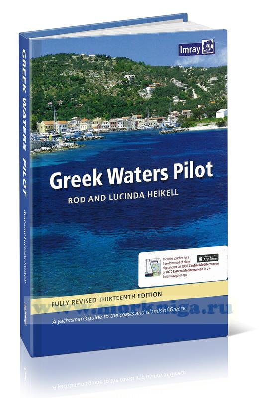 Greek waters pilot Греция: Ионические острова, побережье и острова Эгейского моря 14-я редакция