Сб с 10 до 16
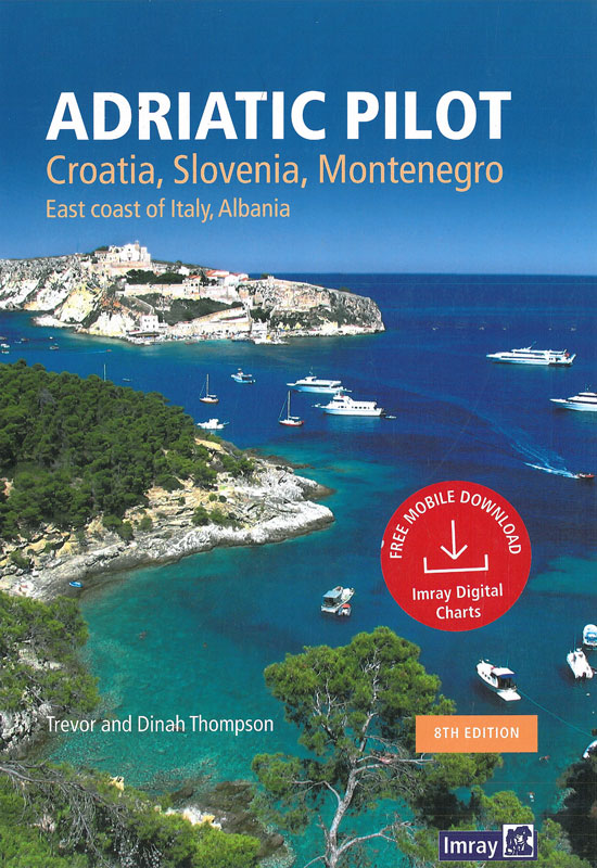
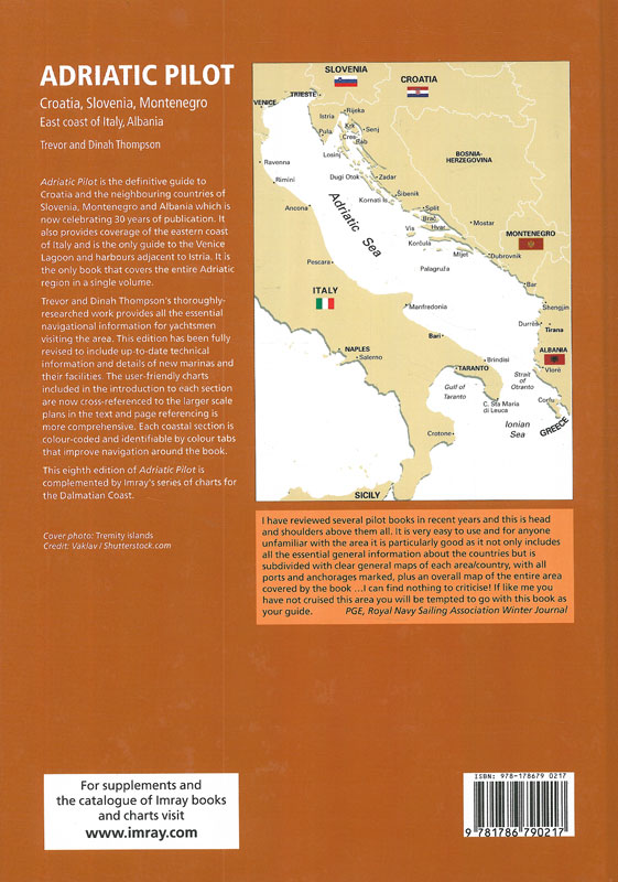
Adriatic pilot Адриатика: Побережья и острова Словении, Хорватии, Италии, Черногории и Албании
Издание на английском языке
The plans in this guide are not to be used for navigation - they are designed to support the text and should always be used together with navigational charts. Even so, every effort has been made to locate harbour and anchorage plans adjacent to the relevant text. They are not suitable for the plotting of positions from electronic navigation systems such as GPS.
It should be borne in mind that the characteristics of lights may be changed during the life of the book, and that in any case notification of such changes is unlikely to be reported immediately. When the book is no longer new, light characteristics, both in the text and on the plans, may be updated from the current edition of the Admiralty List of Lights.
Contents
Preface
Acknowledgements
Key to symbols used on plans
Introduction
The Adriatic Sea
Approaches to the Adriatic
Prohibited areas
Trailer-sailers
Climate, seasons and weather
Weather forecasts
Local times
The sea
Pollution
Marine Reserves
Recycling
Buoyage and navigation aids
Coast radio stations
Commercial shipping and fishing
Sailing in the Adriatic
Chartering and flotilla sailing
Wintering afloat
Useful equipment
Mooring and anchoring
Dangerous marine animals
1 Albania, 13 The Dalmatian coast: Cruising in Montenegro, Croatia and Slovenia
2 Montenegro: Ulcinj to the Boka Kotorska
3 Croatia
3.1 Croatia: Molunat to Podgora
3.2 Croatia: Tucepi to Tribunj
3.3 Croatia: Murter to Rab
3.4 Croatia: Senj to the border with Slovenia
4 Slovenia
5 Italy
5.1 Italy: Slovenia to Ancona
5.2 Italy: Numana to Manfredonia
5.3 Italy: Barletta to Sta Maria di Leuca
Appendix
I. Charts and navigational publications for the Adriatic Sea
II. Glossary
III. Useful addresses
IV. Animals on board
Index


 Морской английский для яхтсменов
  Greek waters pilot Греция: Ионические острова, побережье и острова Эгейского моря 14-я редакция
 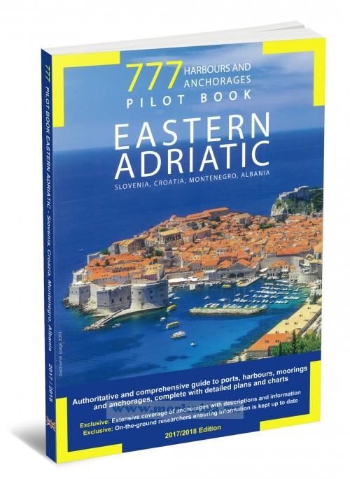 777 Harbours and Anchorages Хорватия, Словения и Черногория: Марины и якорные стоянки. 2017/18, 4-я редакция