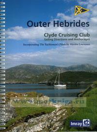
Clyde Cruising Club Sailing Directions & Anchorages Part 4 Outer Hebrides
Whilst the Publishers and Author have used reasonable endeavours to ensure the accuracy of the contents of these Sailing Directions they contain selected information and thus are not definitive and do not include all known information for each and every location described, nor for all conditions of weather and tide. They are written for yachts of moderate draft and should not be used by larger craft. They should be used only as an aid to navigation in conjunction with official charts, pilots, hydrographic data and all other information, published or unpublished, available to the navigator. Skippers should not place reliance on these Sailing Directions in preference to exercising their own judgement.
Содержание:
Contents
Preface
Introduction
General introduction to sailing in the Outer Hebrides
Charts and maps
Tides
Weather and forecasting
Anchorages, mooring and berthing
Equipment
Chartering and instruction
Communications
Travel
Emergencies
Notes on sailing directions and plans
1 Barra Head to Eriskay
2 South Uist
3 Benbecula
4 North Uist
5 Sound of Harris
6 South Harris
7 Lewis
8 West of the Outer Hebrides
Appendix
Charts and other publications
Services and supplies
Distance tables
Gaelic glossary
Submarine exercise areas
Western Isles Council mooring fees
Index

 Estonian Cruising Guide
  Inshore Britain. Прибрежная Британия
  The Channel Islands Нормандские острова