Сб с 10 до 16
A4 Guadeloupe to St Lucia. Гваделупа
Мы не можем гарантировать его наличие и поступление на наш склад по указанной цене
Corrected to November 2016
About Imray charts
Imray charts set the standards for the leisure sector with award-winning cartography compiled, drawn and published in England. They feature our distinctive colour scheme, coloured light sectors and fine overprinted latitude and longitude grids to make plotting easier.
Based on up-to-date official surveys, our charts receive continual attention and amendment by skilled staff to ensure that they are always as up to date as possible.
Imray charts are also available electronically on the Imray Navigator app for iPads and iPhones. Download from the Apple App Store.
See the full range of Imray charts and books at www.imray.com
Datum and printing history
All Imray charts are based on WGS 84 datum as indicated in the catalogue. Apart from some of the Imray-lolaire charts of the Caribbean Sea, all are metric.
Every chart includes details of the datum and projection on which it was based, to allow it to be used safely with satellite navigation systems.
New - Digitally printed on water resistant paper
Imray charts are now digitally printed on Pretex, a partially synthetic paper which is water resistant, folds well and is durable in damp conditions. Notes and corrections can be added in both soft pencil and ballpoint pen.

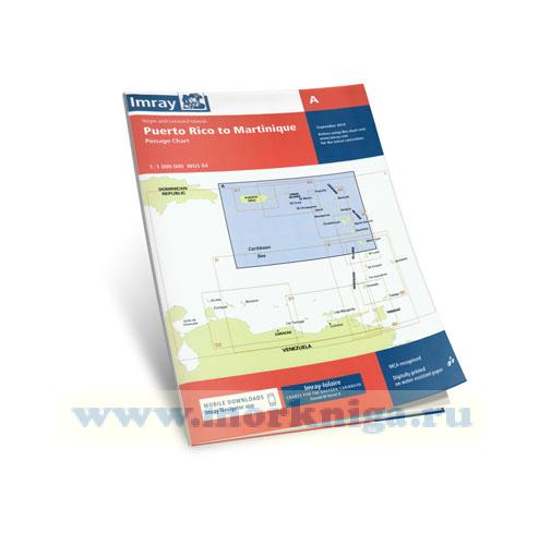
 A Puerto Rico to Martinique Пуэрто Рико и Мартиника
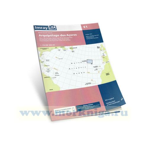
  E1 Arquipelago dos Acores Азорские острова (1:750 000)