с 9:00 до 19:00
Каталог▲▼
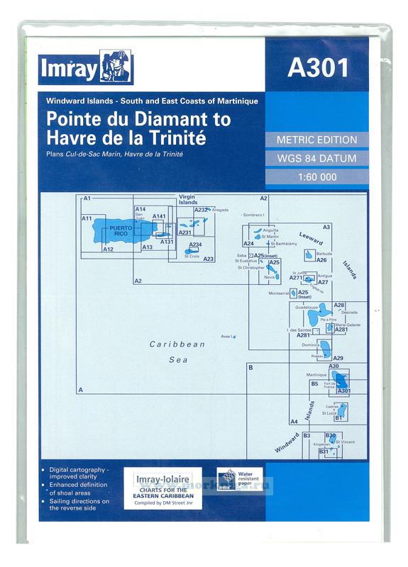
A301 Pointe du Diamant to Havre de la Trinite
Артикул: 00456024
в желания Под заказ
Автор: Imray
Издательство: Imray (все книги издательства)
Место издания: England
ISBN: 9781846230042
Год: 2006
Товар будет заказан у поставщика.
Мы не можем гарантировать его наличие и поступление на наш склад по указанной цене
Мы не можем гарантировать его наличие и поступление на наш склад по указанной цене
3100 P
-
+
С этим товаром покупают
Карта на английском языке
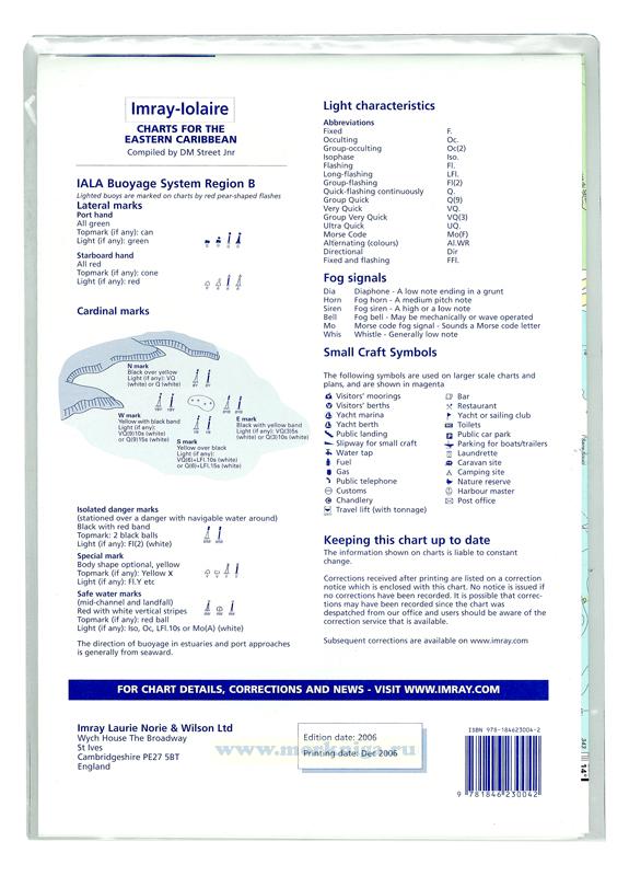
Imray-Iolaire charts for Caribbean are widely acknowledged as the best available for the cruising sailor. They combine the latest official survey data with first-hand information gathered over 60 years of research by Don Street Jr and his wide network of contributors. Like all Imray charts, they are printed on water resistant Pretex paper for durability, and they include many anchorages, facilities and inlets not included on official charts.
Карта сложена в пластиковый карман A4.
Масштаб: 1:60 000
Plans include:
Cul-de-Sac Marin
Havre de la Trinite
Х
message
 A12 Punta Figuras to Bahia de Guanica
  B4 Tobago
 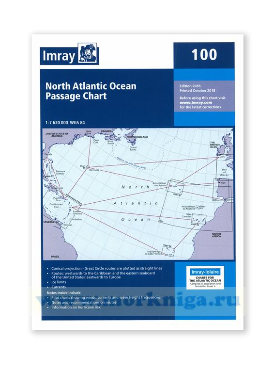 Chart 100 North Atlantic Ocean Passage Chart Северная часть Атлантического океана (1:7 620 000)