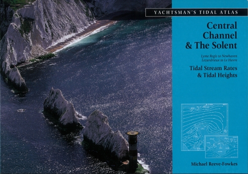
Yachtman's Tidal Atlas Central Channel and Solent
Издание на английском языке
Comprehensive and detailed tidal streams and tidal heights in an easy-to-read format with clear data. Includes an annual Cherbourg tide table.
The Yachtsman's Tidal Atlases were developed by Michael Reeve-Fowkes as a comprehensive aid to accurate navigation and were first published as part of The Yachtsman’s Manual of Tides in 1983. In compiling these atlases the author studied data from a number of different sources including tide tables, tidal stream atlases, pilots and charts published by the Hydrographer of the Navy, the Service Hydrographique et Oceanographique de la Marine and the Chef de Hydrographie, and gratefully acknowledged the great benefit he gained from these publications. Additional information was obtained from club rule books, cruising handbooks, magazine articles and from the experience of the author and many of his friends.
Whilst assessing the information thus obtained, the author found it in some cases to be conflicting and often incomplete. He therefore found it necessary when this occurred to make assumptions based on his best judgement, in the belief that such assumptions, made at desk and drawing board, were likely to be better than those which might have to be made at sea, perhaps under difficult conditions.
Anyone using these tidal atlases must be aware that tidal predictions, however carefully they have been produced, can only be approximate and may be adversely affected by prevailing conditions such as wind direction and strength, or storm surges, and when navigating in upper estuaries, by heavy rainfall. Therefore these atlases must always be used with caution, and allowance made for the inherently approximate nature of tidal predictions.
A more detailed explanation of the cause and effect of tides and the theory and practice of navigating in tidal waters can be found in the author’s The Yachtsmans Manual of Tides, also published by Adlard Coles Nautical.


 Wasterstanden En Stromen Langs Ned. Kust En Aangrenzend Gebied
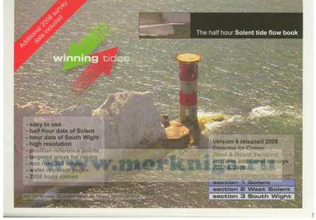
  Winning Tides
  Wasterstanden En Stromen Langs Ned. Kust En Aangrenzend Gebied