Сб с 10 до 16
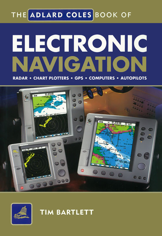
The Adlard Coles Book of Electronic Navigation imr_RB0004
Description: he Adlard Coles Book of Navigation is aimed at anyone with an interest in navigating small craft,but particularly at those working towards RYA Day Skipper, Yachtmaster, Motor Cruising or Advanced Powerboatcertificates, or attending the RYA Radar course.Electronics have gained such widespread acceptance over the last decade that even a modest family cruiser is likely to have anelectronic navigation capability comparable with that of a small warship of twenty years ago. Using plain English to strip away thejargon, this book sets out to demystify the technology behind modern marine electronics, and to explain how the various systemswork and how to get the best out of the equipment available..
Contents
1. Electronic navigation - do we need it?
Case history 1: Kishmul of Ayr Case history 2: Wahkuna
2. New solutions, new problems
The shape of the Earth Horizontal datums. An error? What error?
...and different kinds of accuracy Dilution of precision Measuring error
3. Hardware, software and data
Man/machine interface Controls Menus and soft keys Displays Machine/machine interface PC serial ports NMEA 0183
4. What is GPS?
How it works The satellites Errors and accuracy Improving the accuracy of GPS Differential GPS Other Satnavs
5. Using GPS
Initialising Set-up options Basic displays Waypoint navigation Route navigation Routes and waypoints under way Using waypoints to monitor position Upwind sailing GPS pilotage
6. Chart plotters
Raster charts Vector charts Passage planning on a plotter Overlays
7. PCs on board
Laptops Built-in PCs Power supplies
Displays and controls A look to the future
8. Echo sounders
How they work Digital echo sounders
Forward-looking echo sounders Installing an echo sounder Calibrating an echo sounder
9. Logs
How it works Installing a log Calibrating a log
10. Electronic compasses
How a fluxgate Installation Self-correction
11. Radar - how it works
First principles Main components Display Power consumption and safety
12. Radar - getting a picture
Switching on and setting up
Improving the picture Stabilisation Measuring tools
13. Radar - what shows up?
Blind arcs and shadow sectors What shows up? Radar reflectors Radar transponders False echoes Weather effects
14. Using radar for collision avoidance
Radar and the Colregs Assessing the risk Closest point of approach Finding course and speed Advanced radar plotting Guard zones ARPA and MARPA
15. Using radar for navigation and pilotage
Fix by radar bearings Fix by radar ranges Mixed fixes Pilotage
Index


 Plotting Sheets and Sight Forms for Yachtsmen