Сб с 10 до 16
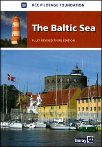
The Baltic Sea Лоция Балтийского моря
Whilst the RCC Pilotage Foundation, the authors and the publishers have used reasonable endeavours to ensure the accuracy of the content of this book, it contains selected information and thus is not definitive. It does not contain all known information on the subject in hand and should not be relied on alone for navigational use: it should only be used in conjunction with official hydrographic data. This is particularly relevant to the plans, which should not be used for navigation. The RCC Pilotage Foundation, the authors and the publishers believe that the information which they have included is a useful aid to prudent navigation, but the safety of a vessel depends ultimately on the judgment of the skipper, who should assess all information, published or unpublished.
The information provided in this pilot book may be out of date and may be changed or updated without notice. The RCC Pilotage Foundation cannot accept any liability for any error, omission or failure to update such information.
To the extent permitted by law, the RCC Pilotage Foundation, the authors and the publishers do not accept liability for any loss and/or damage howsoever caused that may arise from reliance on information contained in these pages.
Полностью на английском языке
Contents
The RCC Pilotage Foundation
Foreword
Acknowledgements
Introduction
General information
Planning and navigation
Practicalities
1. Germany
1a. Approaches to the Baltic via the Kiel Cana and Eider River
1b. Kieler Forde to Flensburg Forde
1c. Kieler Bucht to Mecklenburger Bucht
1d. Darsser Ort to the Polish Border
2. Denmark
2a. Eastern Danish ports
2b. The Danish side of The Oresund
2c. Bornholm and Christians
2d. Approach to the Kattegat through the
Limfjord
2e. Danish harbours and anchorages of the Kattegat
2f. Approach to The Baltic by the Lille Baelt
2g. Approach to The Baltic by the Store Baelt
3. Sweden West coast of Sweden
3a. The Swedish side of the Oresund
3b. Sodra vastkusten Approaches to Goteborg
3c. The Bohuslan coast - Norra vastkusten
3d. Gota Alv, Trollhatte and Gota Kanals South coast of Sweden
3e. Falsterbo Kanal to Utklippan East coast of Sweden
3f. Utlangan to Landsort, including Oland and Gotland
3g. Sodertalje, Stockholm, the Archipelago and Lake Malaren
The Gulf of Bothnia
3h. The Swedish coast of the Gulf of Bothnia
1. Svartklubben to Soderhamn
2. Hudiksvall to Hamosand
3. The Hoga Kusten
4. Husum to Bjuroklubb
5. Skelleftehamn to Lulea
6. Lulea to Haparanda
4. Finland
4a. Gulf of Bothnia coast of Finland
1. Tornio to Raahe
2. Kokkola to Vaasa
3. Kristiinankaupunki to Uusikaupunki
4b. The Aland Islands
4c. Finnish Archipelago
4d. South Coast of Finland
4e. Eastern Finland
4f. The Russian channel, Saimaa Canal and the Lakes
5. Russia
6. Poland
6a. Zalew Szczecinski to Berlin
6b. Coast of Poland
7. Kaliningrad
8. Lithuania
9. Latvia
9b. Latvia - Baltic Sea Coast
9c. Latvia - The Gulf of Riga
10. Estonia
Appendix
I. Suppliers of charts and publications
11. Abbreviations used on Russian charts
III. Firing practice areas
IV. Search and Rescue
Baltic MS & RRs
V. Radio communications and weather information GMDSS, Coast radio stations, weather bulletins and navigational warnings
Wind scales
NAVTEX transmissions
Weatherfax transmissions
Weather forecasts on the internet
Index

 Как наладить быт и питание на парусной яхте
  Настройка парусов и такелажа
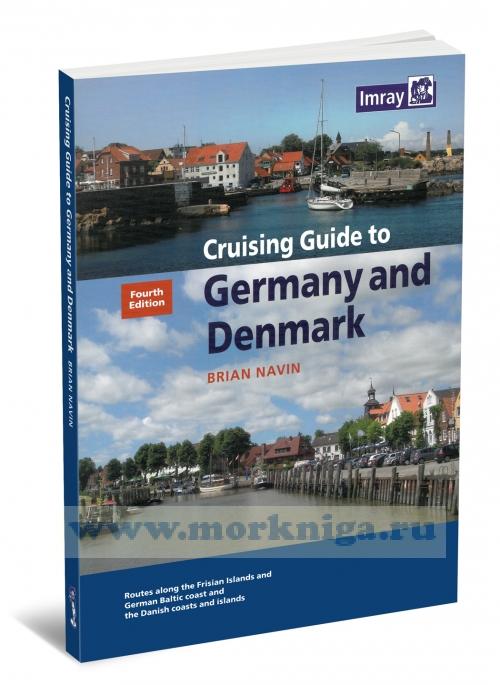
  Cruising Guide to Germany and Denmark Яхтенный путеводитель по Германии и Дании