Сб с 10 до 16
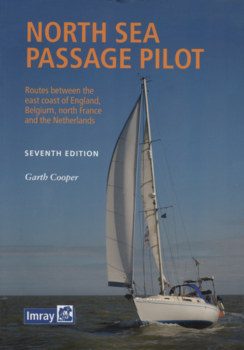
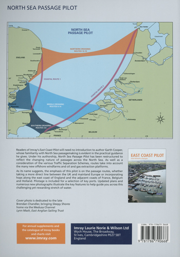
North Sea Passage Pilot. Лоция Северного моря
style="font-style: italic;">Книга на английском языке
This book is intended for cruising skippers planning to sail or motor across the North Sea as comfortably as possible. In the following chapters we’ll guide you and hopefully demystify what it means to cross this busy piece of water. This book is aimed at the first timer and as an aide-memoire to the more regular and experienced skipper, a great many of whom will hold RYA Yachtmaster Coastal or have experience to that standard. It does not include the several race passages across the North Sea, some of which follow long and tortuous routes to give race crews a good work out.
With today’s larger, faster, and potentially more seaworthy boats a trip across to Oostende, Cadzand, the Westerscheldte or IJmuiden can often be accomplished within 24 hours, while Den Helder is two days and a night. The traffic in yachts crossing to and from the near Continent has increased tremendously in recent years.
On shortish trips like these Astro navigation isn’t necessary but the ability to follow a paper chart, and not rely solely on electronic aids, is essential. In the event of a power failure good old-fashioned dead reckoning navigation will often save the day.
This guide, together with suitable charts and a current nautical almanac, provides the necessary information for these medium-distance trips between the rivers, estuaries and ports in an area stretching from Great Yarmouth to Ramsgate on the UK side and Calais to Den Helder on the Continent.
Thanks to the increase in commercial traffic and hardware in the southern North Sea we are somewhat more restricted in our routes than we were even 20 years ago. On the other hand, the area is less lonely with all the gas and oil rigs, wind farms, special marks, support vessels and shipping traffic adding interest in an otherwise empty sea.
We’ve taken the opportunity to simplify and streamline the presentation of this edition to make it easier to follow. For example, we introduce two coastal routes, along the East Coast and along the continental coast, with key waypoints to branch off into local waters, ports and estuaries using local pilot guides. The number of cross-North Sea routes has been reduced in the light of man-made obstacles, traffic separation zones and a greater number of windfarms
Cotents
UK Coast
Ramsgate to Lowestoft / Great Yarmouth
European Mainland Coast
Calais to Den Helder
Bad weather routes inland
Southern crossing routes
Ramsgate or Dover to Calais
Ramsgate or Dover to Dunkerque
Thames and Medway to Calais
Essex rivers to Calais
Harwich to Calais
Middle crossing routes
Essex rivers to Oostende
Essex rivers to Nieuwpoort
Harwich to Nieuwpoort
Harwich to Oostende
Essex rivers to Zeebrugge
Harwich to Zeebrugge
Essex rivers and Harwich to Vlissingen
Northern crossing routes
Harwich to IJmuiden
Harwich / Lowestoft to Den Helder
Lowestoft to IJmuiden (Scheveningen coasting)
Great Yarmouth to IJmuiden
Great Yarmouth to Den Helder
European mainland pilotage
Calais
Dunkerque
Nieuwpoort
Oostende
Blankenberge
Zeebrugge
The Schelde Delta
Noord and Zuid Holland
Scheveningen
IJmuiden
The Noordzeekanaal
Den Helder
UK east coast pilotage
Dover
Ramsgate
Harwich
Lowestoft
Appendices
RYA recommendations for safety equipment for offshore cruisers
Rule 10 Traffic Separation Schemes
Coastguard and rescue facilities in the southern north sea
Charts
Glossaries
Index


 Cruising Guide to Germany and Denmark Яхтенный путеводитель по Германии и Дании
  Corsica and North Sardinia Корсика и Северная Сардиния 3-я редакция