Сб с 10 до 16
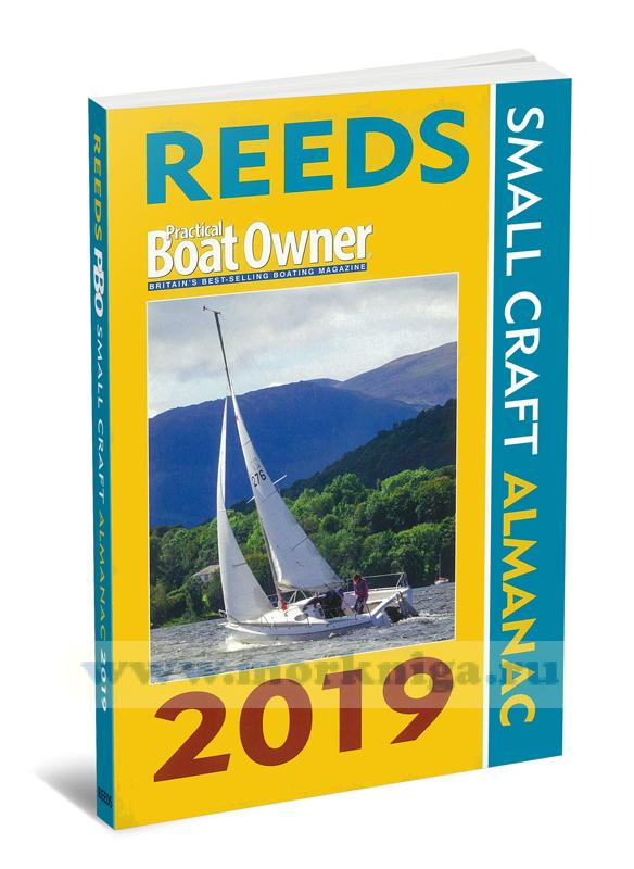
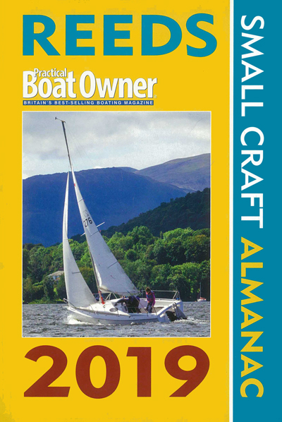
Reeds & Practical Boat Owner. Small Craft Almanac/Ежегодник для маломерных судов
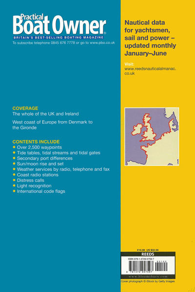
Welcome to the PBO Small Craft Almanac 2019. For UK waters, or for anyone venturing across the Irish Sea, across the Channel to France, or across the North Sea to Germany, Belgium, Denmark or the Netherlands, this is the ideal compact almanac for your bookshelf.
Compiled using the same trusted data as published in the full-size Reeds Almanac, this handy volume is for many a first port of call for tidal data. You'll find all the tide times you need, complete with tidal curves, pilotage and waypoints for major hazards and port entrances, plus detailed tidal atlases and tips on how to negotiate tricky headlands.
There are also contact details for harbour authorities and marinas, information on how to obtain and interpret weather forecasts, and at-a-glance checklists for safety procedures and first aid.
Contents
Abbreviations
General vocabulary
Chapter 1 - Navigation
Passage planning
Cross-Channel distance table
Lights, buoys and waypoints with maps and distance tables
Sunrise/set, moonrise/set
Speed, time & distance table
Distance off dipping/rising lights, table
Conversions table
Light characteristics
Chapter 2 - Weather
Contents
Beaufort scale and meteorological terms
UK shipping forecast areas/record
Weather sources in the UK
Weather sources abroad
Weather vocabulary
Chapter 3 - Communications
Contents
Radio operation
Radio data
Global communications
Ports and marinas: VHF and telephone details, plus VTS charts
Coast radio stations
Shapes & sound signals
International Port Traffic Signals
Chapter 4 - Safety
Contents
Mayday, Helicopter rescue. Medical help
First Aid
GMDSS
Coastguard services, NCI, RNLI, UK and abroad
Chapter 5 - Tides
Contents
Tidal coefficients
Tidal calculations, including clearances below bridges
Bournemouth to Selsey, special instructions
Tidal stream charts
Tidal gates
Secondary ports: time/height differences
Standard ports: tidal curves and tide tables


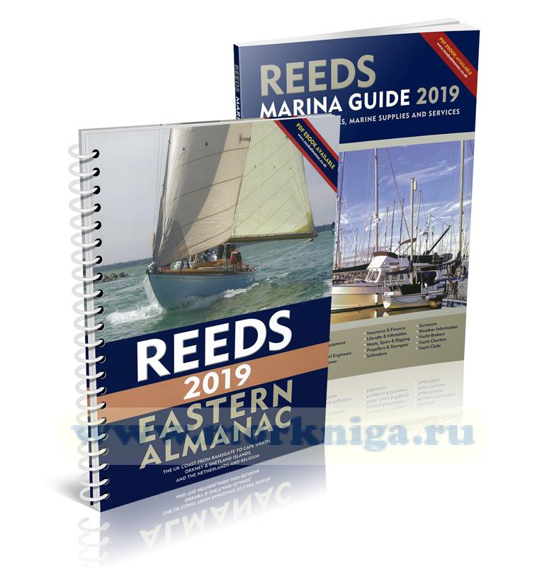 Reeds Eastern Almanac 2019