звоните нам Пн-Пт с 9 до 19
Каталог▲▼
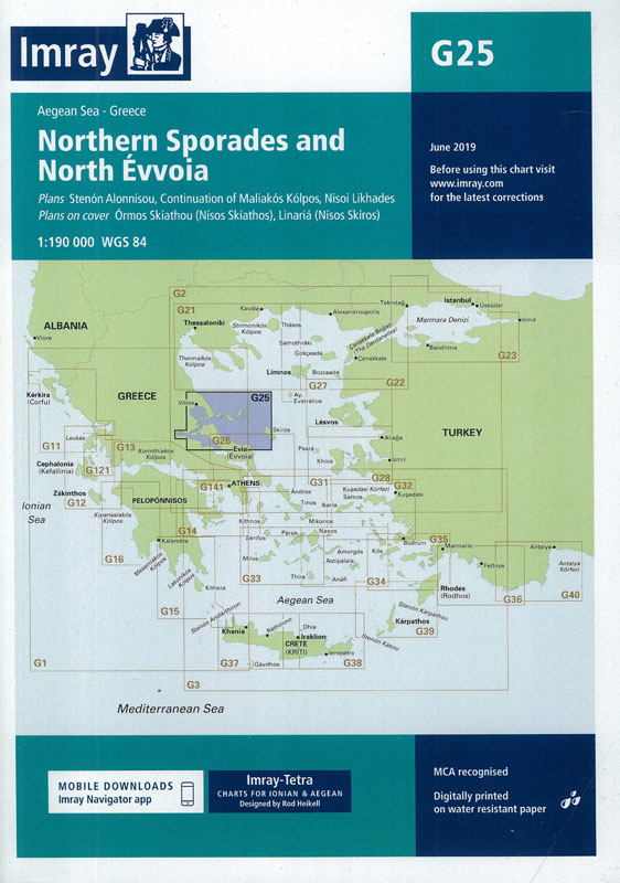
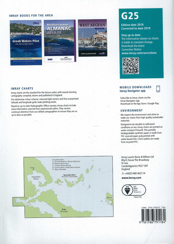
G25 Northern Sporades and North Evvoia. Северные Спорады и Северная Эвия (1:190 000)
Артикул: 00252487
в желания В наличии
Издательство: Imray (все книги издательства)
Место издания: England
ISBN: 9781786791184
Год: 2019
Формат: А1+ (600х900 мм)
Переплет: Листовое издание
Вес: 123 г
С этим товаром покупают
См. также Греция, от Монемвасии до Северных Спорад (часть №1)
Подробнее здесь
Imray charts set the standard for the leisure sailor, with award-winning cartography compiled, drawn and published in England.
Our distinctive colour scheme, coloured light sectors and fine overprinted latitude and longitude grids make plotting easier.
Based on up-to-date Hydrographic Office surveys, Imray charts include extra information sourced from experienced sailors.They receive continual attention from our skilled cartographers to ensure they are as up to date as possible.


 G21 Northwest Aegean Северо-западная часть Эгейского моря (1:275 000)
  M30 Southern Adriatic and Ionian Seas Южное Адриатическое и Ионическое моря (1:850 000)
  G141 Saronikos Kolpos Саронический залив (1:110 000)