звоните нам Пн-Пт с 9 до 19,
Сб с 10 до 16
Сб с 10 до 16


ЧЕРНОЕ МОРЕ НАВИГАЦИОННО-ГЕОГРАФИЧЕСКИЙ ОБЗОР
Черное море - Средземное море Атлантического океана - явлется самым восточным из его морей и представляет собой витянутую с запада на восток глубокий водоем между Европой и Малой Азией. Наибольшая длина Черного моря по параллели 42°30" южной широты от вершины Бурґаськой залива до Кавказского берега южнее рейда Редут-Кале ок. 610 миль; наибольшая ширина между мысом Очаковский и мысом Баба (41°17' N. 31°24' Е) ок. 330 миль.
В самой узкой части южный край Крымского полуострова, мыс Сарыч, удаленный от мыса Керемпе (42°01' N. 33°20' Е) на Анатолййскому берегу всего на 142 мили.
Крымский полуостров, который наиболее врезается в море с юга, и выступающий в середней части южный берег разделяют Черное море на две части: западную и восточную.
THE BLACK SEA NAVIGATIONAL-GEOGRAPHICAL REVIEW
The Black Sea being the mediterranean sea of the Atlantic Ocean, is the easternmost of its seas and looks like deep water reservoir stretched from West to East between Europe and Minor Asia.
The greatest length of the Black Sea at lat. 42°30'N from Burhas'ka Gulf head to Caucasian coast northward the Redut-Kale road is approximately 610 miles; the greatest width between Ochakivs'kyi Cape and Baba Cape (41°17'N, 31°24'E) is approximately 330 miles. In the most narrow part, the south extremity of the Crimean Peninsula, Sarych Cape is remote from Kerempe Cape (42°01'N, 33°20'E) on Anatoliiskyi coast only for 142 miles.
The Crimean Peninsula, deeply jutting out into the sea from North, and the South coast protruding in the middle part, divide the Black Sea into two parts: Western and Eastern. In the north-east the Black Sea is connected with the Sea of Azov by shallow-water Kerchens'kyi Strait with channel dredged for large vessels, and in the south-west it is connected with the Sea of Marmora by Bosporus and further through the Dardanelles with the Aegen and the Mediterranean Seas.
The Black Sea is of great significance for the States, which coasts it washes. Tracks passing across it connect its ports with ports of the Mediterranean region.
Navigation in the Black Sea offers no special difficulties, as all dangers are positioned near coasts. Because of growing vessel traffic intensity in approaches to large ports and to the Bosposus it is necessary to keep caution.
To fix the position while navigating near coasts, it is possible to use mountains, capes, various constructions, and in the open sea - radio navigational, astronomic and satellite means.
The Black Sea coasts belong to Ukraine, Russian Federation, Republic of Georgia, Turkish Republic, Republic of Bulgaria and Romania.
The Black Sea coasts are characterized by great diversity. There are high mountains of exclusive beauty, large lowlands and monotonous barely uneven plains. Near plots covered with rich subtropical vegetation it is possible to see plots without any vegetable cover.
The Black Sea coasts undergo permanent changes almost at its full length. At some localities sea disturbance ruins shores, flattening its outline, at another ones it accumulates drifts, forming new land sites and changing continental shelf relief.
Capes and coasts protruding into the sea undergo considerable destruction; rough sea and surf flow permanently flatten the coastline.
Total eroding and retrogression of a beach are slowed down in areas of the river mouths with intensive flow of solid alluvium. In deltas of the Danube and the Dnieper rivers during the flood period alluvium increase may reach 10 m.
From the Danube delta to Sevastopols'ka bay comparatively low shore represents rugged by gorges steppe ending at some localities near the sea by raddish bluffs, and here and there by low sand belts of land, the so called bay bars, separating vast salt lakes and firths from the sea. There are many firths on north-western coast of the Black Sea, especially from the Danube mouth to the Dnieper mouth.
Some firths are completely separated from the sea, other ones are sometimes connected with it. But there are firths with permanent outlet info the sea. There are firths, which originated in estuaries of the full-flowing the Danube, Pivdenniy Buh and the Dnieper rivers; water in these rivers is almost fresh.
The Sukhoi firth also has permanent outlet into the sea. The whole north-west sea coast is cultivated under crops. There are many gardens near towns and settlements; forest plantations are seen along the whole northwestern coast.
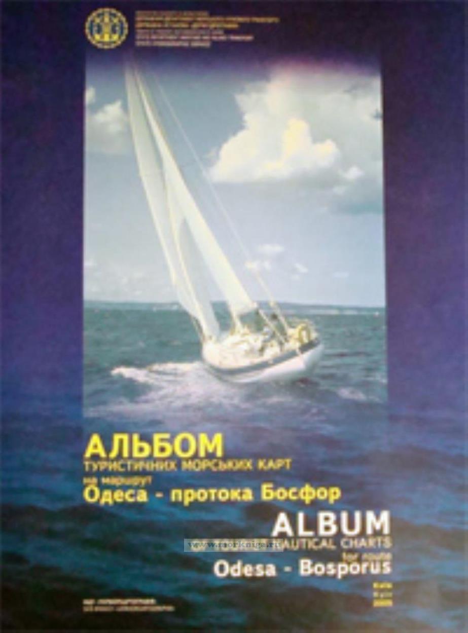
Альбом представляет собой 50 листов морских карт размером 63 х 46 см.
 Огни Средиземного моря. Западная часть моря. Часть II
  Справочник по морским средствам навигации. Том II. Адм. №9628.2
  Лоция Карибского моря. Адм. № 1239