звоните нам Пн-Пт с 9 до 19,
Сб с 10 до 16
Сб с 10 до 16

FOR THIS SECOND EDITION, I need to thank Ben Ellison, the world's preeminent marine electronics journalist, for his input on the latest happenings in the world of electronic charting and for pointing me in the direction of "user-generated content," which is likely to revolutionize charting (see chapter 4). Jeffrey Siegel provided detail and illustrations of the Active-Captain approach.
At the time I wrote the first edition, the University of New Hampshire, with funding from the National Oceanic and Atmospheric Administration (NOAA), had recently launched the Center for Coastal and Ocean Mapping (CCOM). A small team was working on everything from the cutting edge of surveying technologies and associated software to radical explorations of the interface between humans and navigational products. Since then, this acorn has grown into an oak tree which has placed the CCOM at the forefront of a number of emerging technologies and concepts in the hydrographic world, including the "Chart of the Future" that I have included in this edition. My thanks to the staff, and particularly Captain Ben Smith, for their enthusiasm in sharing what they do.
Michel Huet and Tony Pharoah from the International Hyrdrographic Organization (IHO) in Monaco have once again contributed their expertise.
And from the private sector my thanks go to Bill Washburn at Nobeltec, Dave Pennington at Garmin, Tim Sullivan at NV Charts, and Ken Cirillo at C-Map. Jonathan Bailey of Clipper Ventures Pic shared with me details of the loss of the Cork Clipper on an Indonesian reef.
Acknowledgments to the First Edition
Writing this book has been a fascinating odyssey through the world of chart-making. I am indebted
to many "tour guides" who provided information, helped me understand difficult concepts, and commented on various drafts for the book. I thank all of them, and in particular:
At the British Admiralty, Chris Smith, Patrick Nealon, Rex May, and Jim Nichols.
At the National Oceanic and Atmospheric Administration (NOAA), National Ocean Service (NOS), and National Imagery and Mapping Agency (NIMA), Captain Nick Perugini, Dave Enabnit, Mike Brown, Jerry Mills, John Bailey, Fanny Powers, and Barbara Hess.
At the International Hydrographic Organization (IHO), Michel Huet and Tony Pharaoh.
At the Hydrographic Society (based in the U.K.), Michael Boreham.
In the private sector, Dick Davis of Soft Chart, Dennis Mills of the Capn, and David D'Aquino and Ken Cirillo of C-Map.
I am particularly indebted to the IHO for supplying various manuals and giving me permission to quote from them, notably M4—Chart Specifications of the IHO (now renamed S4, and available from the IHO website at www.iho-ohi.net). I am similarly indebted to NOAA (U.S.) for all the work entailed in compiling Chart No. 1 and the Nautical Chart User's Manual; the first has been included in this book more or less in its entirety, and the second I frequently referred to in the course of my labors (both are now available on-line at www.nauticalcharts.noaa.gov). I also used NOAA's version of M-4, the Nautical Chart Manual, 7th (1992) edition, volumes 1 and 2, and the British Admiralty's chart 5011 (INT-1): Symbols and Abbreviations Used on Admiralty Charts.
Various people have reviewed sections of the book and provided useful feedback. In particular, my thanks to staff at the Italian Hydrographic Office, Maptech, Navionics, and especially Rex May at the British Admiralty.
Acknowledgments and Art Credits
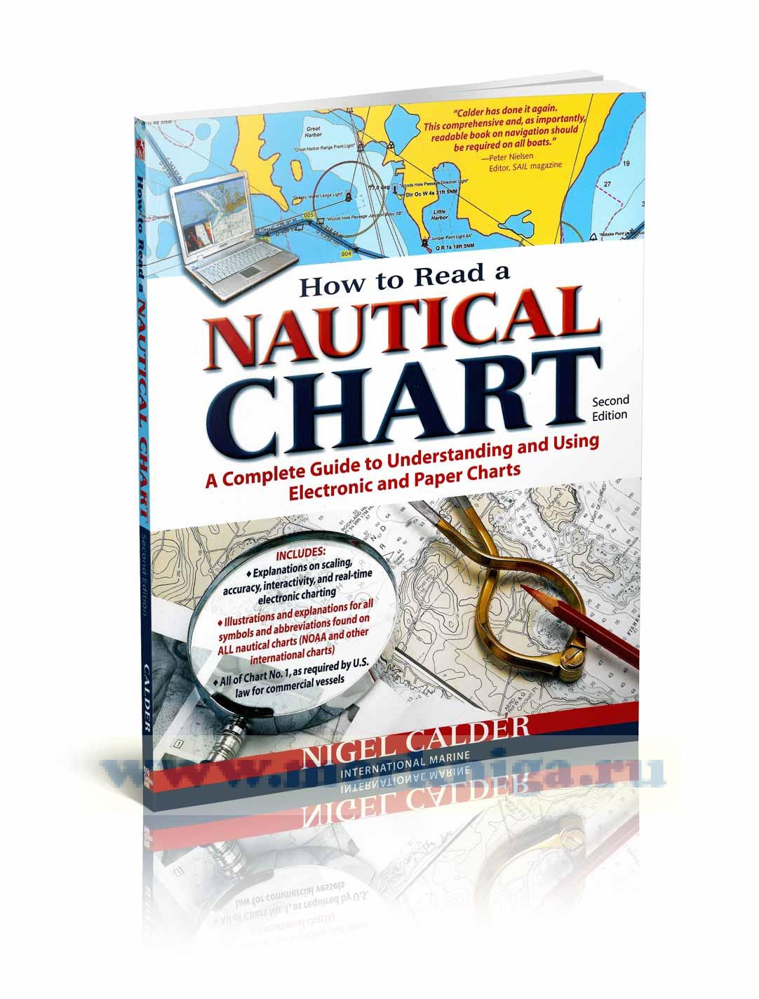
Introduction
PART 1. THE LIMITS OF ACCURACY
Chapter 1. Fundamental Chart-Making Concepts
Chapter 2. Horizontal Chart Accuracy
Chapter 3. Vertical Chart Accuracy
Chapter 4. Regulations and Revolution
PART 2. SYMBOLOGY
Chapter 5. Introduction to INT-1
Chapter 6. Topography
Chapter 7. Hydrography
Chapter 8. Aids and Services
PART 3. APPENDIX
Index to INT-1
Glossary and Acronyms
Common Chart Abbreviations
Bibliography
General Index
 A Seaman`s Guide to Basic Chartwork. Руководство моряка к базовой работе
  Матрос парусной яхты
 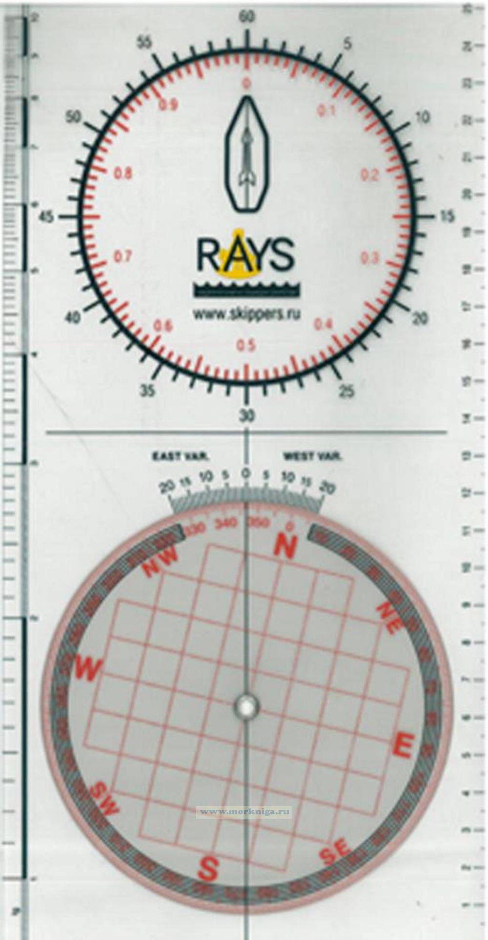 Плоттер RAYS